-
CSP gHM: globalne modyfikacje przez człowieka
Globalny zbiór danych o modyfikacjach przez człowieka (gHM) zawiera zbiorcze dane o modyfikacjach powierzchni lądowej na całym świecie w rozdzielczości 1 km kwadratowy. Wartości gHM mieszczą się w zakresie od 0,0 do 1,0 i są obliczane na podstawie szacunkowego odsetka danego miejsca (piksela), które zostało zmodyfikowane, szacunkowej intensywności… csp fragmentacja modyfikacje-przez-człowieka pokrycie-terenu gradient-krajobrazu populacja -
FireCCI51: MODIS Fire_cci Burned Area Pixel Product, wersja 5.1

MODIS Fire_cci Burned Area pixel product w wersji 5.1 (FireCCI51) to miesięczny globalny zbiór danych o rozdzielczości przestrzennej ~250 m, który zawiera informacje o obszarach spalonych oraz dane pomocnicze. Jest on oparty na współczynniku odbicia powierzchni w paśmie bliskiej podczerwieni (NIR) z instrumentu MODIS na pokładzie… spalenie cci zmiany-klimatu copernicus esa pożar -
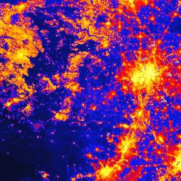
TNC Global Human Modification v3 (migawka statyczna 90 m)

Zbiór danych Global Human Modification v3 mierzy skumulowane oddziaływanie człowieka na globalne ekosystemy lądowe (z wyłączeniem Antarktydy). Śledzi dane z lat 1990–2022 i ma pomóc w ilościowym określeniu wpływu człowieka na planowanie ochrony przyrody, kształtowanie polityki i badania. Jest to statyczna migawka z 2022 r. (seria „s”)… fragmentacja modyfikacje-przez-człowieka pokrycie-terenu gradient-krajobrazu populacja czynniki-stresogenne
Datasets tagged landscape-gradient in Earth Engine
[null,null,[],[],[]]