-
AHN Netherlands 0.5m DEM, Interpolated
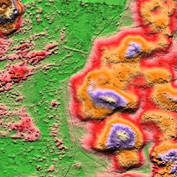
AHN DEM to model DEM o rozdzielczości 0,5 m obejmujący Holandię. Została ona wygenerowana na podstawie danych LIDAR zebranych wiosną w latach 2007–2012. Zawiera próbki na poziomie gruntu, z których usunięto wszystkie inne obiekty znajdujące się nad ziemią (np. budynki, mosty, drzewa itp.). Ta wersja jest… ahn dem elevation elevation-topography geophysical lidar -
AHN Netherlands 0.5m DEM, Non-Interpolated
AHN DEM to model DEM o rozdzielczości 0,5 m obejmujący Holandię. Została ona wygenerowana na podstawie danych LIDAR zebranych wiosną w latach 2007–2012. Zawiera próbki na poziomie gruntu, z których usunięto wszystkie inne obiekty znajdujące się nad ziemią (np. budynki, mosty, drzewa itp.). Ta wersja jest… ahn dem elevation elevation-topography geophysical lidar -
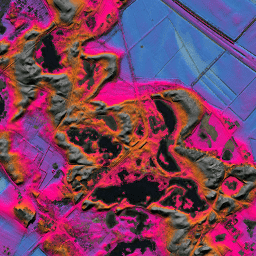
AHN Netherlands 0.5m DEM, Raw Samples
AHN DEM to model DEM o rozdzielczości 0,5 m obejmujący Holandię. Została ona wygenerowana na podstawie danych LIDAR zebranych wiosną w latach 2007–2012. Ta wersja zawiera zarówno próbki na poziomie gruntu, jak i elementy znajdujące się nad nim (np. budynki, mosty, drzewa itp.). Chmura punktów… ahn dem elevation elevation-topography geophysical lidar -
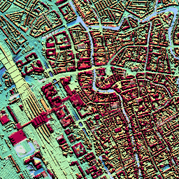
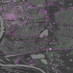
AHN3: Netherlands AHN 0.5m
Actueel Hoogtebestand Nederland (AHN) to zbiór danych zawierający szczegółowe i precyzyjne dane o wysokości dla całej Holandii. Informacje o wysokości zostały zebrane z helikopterów i samolotów za pomocą technologii laserowej z dokładnością pionową do 5 cm. Zbiór danych AHN3 zawiera holenderski model DSM AHN o rozdzielczości 0,5 m… ahn dem elevation elevation-topography geophysical lidar -
AHN4: Netherlands AHN 0.5m
Actueel Hoogtebestand Nederland (AHN) to zbiór danych zawierający szczegółowe i precyzyjne dane o wysokości dla całej Holandii. Informacje o wysokości zostały zebrane z helikopterów i samolotów za pomocą technologii laserowej z dokładnością pionową do 5 cm. Zbiór danych AHN4 zawiera holenderski model DSM AHN o rozdzielczości 0,5 m… ahn dem elevation elevation-topography geophysical lidar -
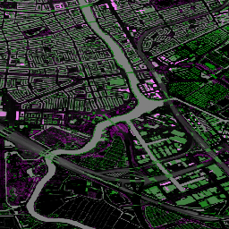
Ortofotomapy Holandii

Ortofotomapy Holandii to zestaw kolorowych ortoobrazów. Co roku zbierane są 2 ogólnokrajowe zdjęcia lotnicze: jedno bez liści o rozdzielczości 7,5 cm wiosną i jedno z liśćmi na drzewach o rozdzielczości 25 cm latem. Więcej informacji znajdziesz w sekcji… netherlands orthophotos rgb
Datasets tagged netherlands in Earth Engine
[null,null,[],[],[]]