-
EMIT L2A 地表反射率估计值和不确定性以及掩码 60 米

EMIT 项目是 NASA 地球科学部 (ESD) 项目主管指导下的地球风险仪器 (EV-I) 计划的一部分。EMIT 包含一个 VSWIR 红外戴森成像光谱仪,该光谱仪经过改造,可安装在国际空间站 (ISS) 上。EMIT 测量的是辐射度… daily emit nasa reflectance satellite-imagery -
Harmonized Sentinel-2 MSI:多光谱成像仪,2A 级 (SR)
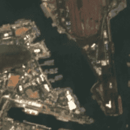
自 2022 年 1 月 25 日起,PROCESSING_BASELINE 为“04.00”或更高的 Sentinel-2 场景的 DN(值)范围已偏移 1000。HARMONIZED 集合会将新场景中的数据移至与旧场景相同的范围内。Sentinel-2 是一项宽幅、高分辨率、多光谱成像任务,可为哥白尼… copernicus esa eu msi reflectance satellite-imagery -
2020 年北美洲 30 米土地覆盖数据

2020 年北美土地覆盖 30 米数据集是北美土地变化监测系统 (NALCMS) 的一部分,该系统是加拿大自然资源部、美国地质调查局和三个墨西哥组织(包括国家统计和地理研究所)之间的三边合作项目。 landcover landsat landuse-landcover nlcd reflectance -
MCD43A1.061 MODIS BRDF 反照率模型参数,每日,500 米

MCD43A1 V6.1 双向反射率分布函数和反照率 (BRDF/Albedo) 模型形参数据集是一种 500 米的每日 16 天产品。儒略日表示 16 天检索期内的第 9 天,因此观测结果会进行加权,以估计当天的 BRDF/反照率。… 反照率 brdf 每日 全球 modis nasa -
MCD43A2.061 MODIS BRDF-反照率质量每日 500 米

MCD43A2 V6.1 双向反射率分布函数和反照率 (BRDF/Albedo) 质量数据集是一种 500 米的每日 16 天产品。它包含相应 16 天 MCD43A3 反照率和 MCD43A4 Nadir-BRDF (NBAR) 产品的所有质量信息。MCD43A2 包含各个波段的质量和观测数据,… 反照率 brdf 每日 全球 modis nasa -
MCD43A4.061 MODIS 天底 BRDF 调整后反射率每日 500 米

MCD43A4 V6.1 Nadir Bidirectional Reflectance Distribution Function Adjusted Reflectance (NBAR) 产品提供 MODIS“陆地”波段 1-7 的 500 米反射率数据。这些值会使用双向反射率分布函数进行调整,以模拟从天底视角收集的值。… 反照率 brdf 每日 全球 modis nasa -
MODOCGA.006 Terra 海洋反射率每日全球 1 公里
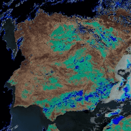
MODOCGA V6 海洋反射率产品包含 Terra MODIS 波段 8-16 的 1 公里反射率数据。该产品被称为海洋反射率,因为波段 8-16 主要用于生成海洋产品,但由于图块…,因此该产品并非海洋产品 每日 全球 modis nasa 海洋 反射率 -
MYDOCGA.006 Aqua 海洋反射率每日全球 1 公里
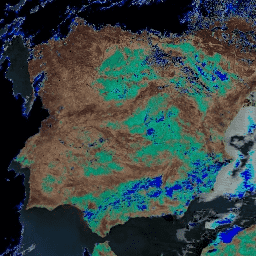
MYDOCGA V6 海洋反射率产品包含来自 Aqua MODIS 波段 8-16 的 1 公里反射率数据。该产品被称为海洋反射率,因为波段 8-16 主要用于生成海洋产品,但由于图块…,因此该产品并非海洋产品 aqua 每日 全球 modis nasa 海洋 -
NOAA CDR AVHRR:地表反射率,版本 5

AVHRR 地表反射率的 NOAA 气候数据记录 (CDR) 包含网格化每日地表反射率和亮度温度,这些数据是从七颗 NOAA 极地轨道卫星上搭载的高级甚高分辨率辐射计 (AVHRR) 传感器获取的。数据以 0.05° 的分辨率进行网格化,并计算… avhrr cdr daily land noaa reflectance -
NOAA CDR GRIDSAT-B1:地球静止红外通道亮度温度

注意:由于基础设施正在更新,自 2024-03-31 以来,提供方尚未更新此数据集。目前尚无数据集更新恢复时间表。此数据集提供来自地球静止卫星的全球红外测量数据的高质量气候数据记录 (CDR)。… 亮度 cdr 气候 红外 noaa 反射率 -
NOAA CDR PATMOSX:云属性、反射率和亮度温度,版本 5.3

此数据集提供多种云属性的高质量气候数据记录 (CDR),以及高级甚高分辨率辐射计 (AVHRR) Pathfinder Atmospheres Extended (PATMOS-x) 亮度温度和反射率。这些数据已拟合到 0.1 x 0.1 等角网格,其中包含升序和… 大气 avhrr 亮度 cdr 气候 云 -
海洋颜色 SMI:标准映射图像 MODIS Aqua 数据

此 3 级产品包括在 EOSDIS 下生成或收集的海洋颜色和卫星海洋生物学数据。此数据集可用于研究沿海地区的生物学和水文学、沿海海洋栖息地的多样性和地理分布变化、生物地球化学通量以及… 生物学 叶绿素 modis nasa 海洋 oceandata -
海洋颜色 SMI:标准映射图像 MODIS Terra 数据

此 3 级产品包括在 EOSDIS 下生成或收集的海洋颜色和卫星海洋生物学数据。此数据集可用于研究沿海地区的生物学和水文学、沿海海洋栖息地的多样性和地理分布变化、生物地球化学通量以及… 生物学 叶绿素 modis nasa 海洋 oceandata -
海洋颜色 SMI:标准映射图像 SeaWiFS 数据

此 3 级产品包括在 EOSDIS 下生成或收集的海洋颜色和卫星海洋生物学数据。此数据集可用于研究沿海地区的生物学和水文学、沿海海洋栖息地的多样性和地理分布变化、生物地球化学通量以及… 生物学 叶绿素 美国国家航空航天局 海洋 海洋数据 海洋 -
USGS Landsat 4 Level 2,Collection 2,Tier 1

此数据集包含大气校正后的地表反射率和从 Landsat TM 传感器生成的数据中得出的地表温度。这些影像包含 4 个可见光和近红外 (VNIR) 波段以及 2 个经过处理的短波红外 (SWIR) 波段(正射校正的地表反射率),以及 1 个热红外波段。 cfmask cloud fmask global landsat lasrc -
USGS Landsat 4 Level 2,Collection 2,Tier 2
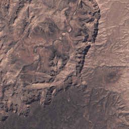
此数据集包含大气校正后的地表反射率和从 Landsat TM 传感器生成的数据中得出的地表温度。这些影像包含 4 个可见光和近红外 (VNIR) 波段以及 2 个经过处理的短波红外 (SWIR) 波段(正射校正的地表反射率),以及 1 个热红外波段。 cfmask cloud fmask global landsat lasrc -
USGS Landsat 5 Level 2,Collection 2,Tier 1
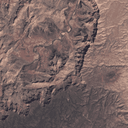
此数据集包含大气校正后的地表反射率和从 Landsat TM 传感器生成的数据中得出的地表温度。这些影像包含 4 个可见光和近红外 (VNIR) 波段以及 2 个经过处理的短波红外 (SWIR) 波段(正射校正的地表反射率),以及 1 个热红外波段。 cfmask cloud fmask global landsat lasrc -
USGS Landsat 5 Level 2,Collection 2,Tier 2
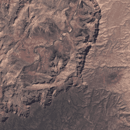
此数据集包含大气校正后的地表反射率和从 Landsat TM 传感器生成的数据中得出的地表温度。这些影像包含 4 个可见光和近红外 (VNIR) 波段以及 2 个经过处理的短波红外 (SWIR) 波段(正射校正的地表反射率),以及 1 个热红外波段。 cfmask cloud fmask global landsat lasrc -
USGS Landsat 7 Level 2、Collection 2、Tier 1
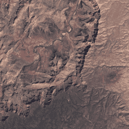
此数据集包含由 Landsat 7 ETM+ 传感器生成的数据得出的经过大气校正的地面反射率和地表温度。这些影像包含 4 个可见光和近红外 (VNIR) 波段以及 2 个短波红外 (SWIR) 波段,经过处理后可获得正射校正的地表反射率,以及 1 个热红外波段。 cfmask cloud etm fmask global landsat -
USGS Landsat 7 Level 2,Collection 2,Tier 2
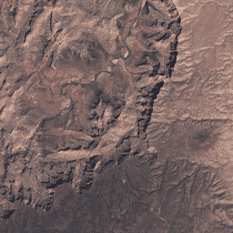
此数据集包含由 Landsat 7 ETM+ 传感器生成的数据得出的经过大气校正的地面反射率和地表温度。这些影像包含 4 个可见光和近红外 (VNIR) 波段以及 2 个短波红外 (SWIR) 波段,经过处理后可获得正射校正的地表反射率,以及 1 个热红外波段。 cfmask cloud etm fmask global landsat -
USGS Landsat 8 Level 2,Collection 2,Tier 1
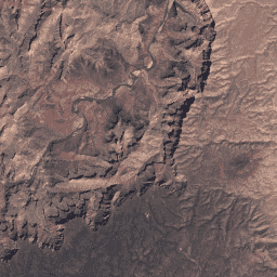
此数据集包含由 Landsat 8 OLI/TIRS 传感器生成的数据得出的经过大气校正的地表反射率和地表温度。这些图像包含 5 个可见光和近红外 (VNIR) 波段以及 2 个经过处理的短波红外 (SWIR) 波段(正射校正的地表反射率),以及 1 个热红外波段。 cfmask cloud fmask global l8sr landsat -
USGS Landsat 8 第 2 级、集合 2、第 2 层级
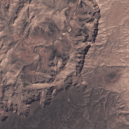
此数据集包含由 Landsat 8 OLI/TIRS 传感器生成的数据得出的经过大气校正的地表反射率和地表温度。这些图像包含 5 个可见光和近红外 (VNIR) 波段以及 2 个经过处理的短波红外 (SWIR) 波段(正射校正的地表反射率),以及 1 个热红外波段。 cfmask cloud fmask global l8sr landsat -
USGS Landsat 9 Level 2,Collection 2,Tier 1
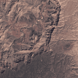
此数据集包含大气校正后的地表反射率和地表温度,这些数据均源自 Landsat 9 OLI/TIRS 传感器生成的数据。这些图像包含 5 个可见光和近红外 (VNIR) 波段以及 2 个经过处理的短波红外 (SWIR) 波段(正射校正的地表反射率),以及 1 个热红外波段。 cfmask cloud fmask global l9sr landsat -
USGS Landsat 9 Level 2、Collection 2、Tier 2
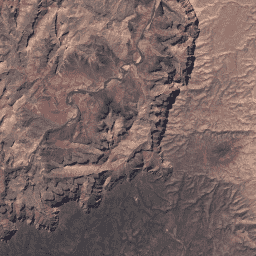
此数据集包含大气校正后的地表反射率和地表温度,这些数据均源自 Landsat 9 OLI/TIRS 传感器生成的数据。这些图像包含 5 个可见光和近红外 (VNIR) 波段以及 2 个经过处理的短波红外 (SWIR) 波段(正射校正的地表反射率),以及 1 个热红外波段。 cfmask cloud fmask global l9sr landsat -
VNP09GA:VIIRS 地表反射率每日 500 米和 1 公里

可见光红外成像辐射仪套件 (VIIRS) 每日地表反射率 (VNP09GA) 产品可根据 Suomi 国家极地轨道合作伙伴计划 (S-NPP) VIIRS 传感器提供陆地表面反射率估计值。提供三个影像波段(I1、I2、I3)的数据,名义分辨率为 500 米(约 463 米)… daily nasa noaa npp reflectance satellite-imagery -
VNP09H1:VIIRS 地表反射率 8 天 L3 全球 500 米

8 天可见光红外成像辐射仪套件 (VIIRS) 地表反射率 (VNP09H1) 第 1 版合成产品可提供 Suomi 国家极轨伙伴卫星 (Suomi NPP) VIIRS 传感器在标称分辨率 500 米(约 463 米)的三个影像波段(I1、I2、I3)的地表反射率估计值。… daily nasa noaa npp reflectance satellite-imagery
Datasets tagged reflectance in Earth Engine
[null,null,[],[],["This collection includes multiple satellite datasets, primarily focusing on surface reflectance and related measurements. Landsat 4, 5, 7, 8, and 9 provide atmospherically corrected reflectance and land surface temperature data, each utilizing different sensor bands. Sentinel-2 data adjusts its value range for consistency. MODIS offers daily ocean reflectance and BRDF/Albedo products. EMIT provides surface reflectance and uncertainty data. NOAA datasets include AVHRR surface reflectance, cloud properties, and brightness temperatures. Other data sets include Ocean color and Land Cover.\n"]]