تبخیر و تعرق واقعی برای استرالیا (CMRSET Landsat V2.2) 
این مجموعه داده، تبخیر و تعرق واقعی (AET یا ETa) دقیقی را برای استرالیا با استفاده از الگوریتم CMRSET ارائه میدهد. باند AET (با نام 'ETa') شامل میانگین مقدار روزانه از مدل CMRSET برای تمام مشاهدات لندست بدون ابر در آن ماه است (با مقدار 3 در دادههای AET نشان داده شده است ... کشاورزی استرالیا ، تبخیر، تبخیر و تعرق، دادههای لندست، مشتق شده از SLGA: شبکه خاک و منظر استرالیا (ویژگیهای خاک) 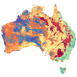
شبکه خاک و منظر استرالیا (SLGA) یک مجموعه داده جامع از ویژگیهای خاک در سراسر استرالیا با وضوح ۳ ثانیه قوسی (حدود ۹۰ میلیون پیکسل) است. سطوح، نتایج مدلسازی هستند که توزیع مکانی ویژگیهای خاک را با استفاده از دادههای خاک موجود و دادههای محیطی توصیف میکنند... پرستوی خاک استرالیا csiro
Datasets tagged tern in Earth Engine
[null,null,[],[],[]]