-
Globalne segmenty CCDC Google oparte na danych Landsat (1999–2019)
Ta kolekcja zawiera wstępnie obliczone wyniki działania algorytmu ciągłego wykrywania i klasyfikacji zmian (CCDC) na podstawie 20 lat danych o współczynniku odbicia powierzchni Landsat. CCDC to algorytm wykrywania punktów przerwania, który wykorzystuje dopasowanie harmoniczne z dynamicznym progiem RMSE do wykrywania punktów przerwania w danych szeregów czasowych. … wykrywanie-zmian google pokrycie-terenu landsat-derived użytkowanie-terenu użytkowanie-terenu-pokrycie-terenu -
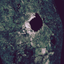
Warstwy mapowania globalnych wód powierzchniowych JRC, wersja 1.4
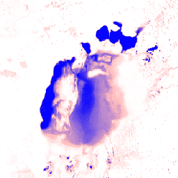
Ten zbiór danych zawiera mapy lokalizacji i rozkładu czasowego wód powierzchniowych w latach 1984–2021 oraz statystyki dotyczące ich zasięgu i zmian. Więcej informacji znajdziesz w powiązanym artykule w czasopiśmie naukowym: High-resolution mapping of global surface water and its … wykrywanie-zmian geofizyczne google jrc landsat-derived powierzchnia -
MCD64A1.061 MODIS Burned Area Monthly Global 500m

Produkt danych o obszarach spalonych MCD64A1 w wersji 6.1, łączący dane z satelitów Terra i Aqua, to miesięczny, globalny produkt w siatce o rozdzielczości 500 m, zawierający informacje o obszarach spalonych i jakości danych dla każdego piksela. Metoda mapowania obszarów spalonych MCD64A1 wykorzystuje obrazy współczynnika odbicia powierzchni MODIS o rozdzielczości 500 m w połączeniu z obserwacjami aktywnych pożarów MODIS o rozdzielczości 1 km. Algorytm… spalenie wykrywanie-zmian pożar geofizyczne globalne mcd64a1 -
System monitorowania zmian krajobrazu USFS w wersji 2025-11 (CONUS i OCONUS)

Ten produkt jest częścią pakietu danych systemu monitorowania zmian krajobrazu (LCMS). Pokazuje on zmiany modelowane przez LCMS, pokrycie terenu lub klasy użytkowania terenu dla każdego roku i obejmuje obszar kontynentalnych Stanów Zjednoczonych (CONUS) oraz obszary poza CONUS (OCONUS), w tym Alaskę (AK), Portoryko… wykrywanie-zmian las gtac gtac-data-publish pokrycie-terenu użytkowanie-terenu -
VNP64A1.002: Burned Area Monthly L4 Global 500m SIN Grid

Codzienny produkt danych NASA Suomi National Polar-Orbiting Partnership (Suomi NPP) Visible Infrared Imaging Radiometer Suite (VIIRS) Burned Area (VNP64A1) w wersji 2 to miesięczny, globalny produkt w siatce o rozdzielczości 500 m, zawierający informacje o obszarach spalonych i jakości danych dla każdego piksela. Metoda mapowania obszarów spalonych VNP64 wykorzystuje obrazy VIIRS o rozdzielczości 750 m… spalenie wykrywanie-zmian pożar ląd nasa powierzchnia
Datasets tagged change-detection in Earth Engine
[null,null,[],[],[]]