-
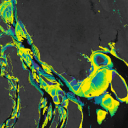
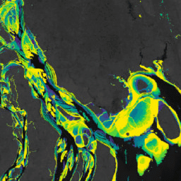
Murray Global Intertidal Change Classification

Murray Global Intertidal Change Dataset には、707,528 枚の Landsat アーカイブ画像の教師あり分類によって作成された干潟生態系のグローバル マップが含まれています。各ピクセルは、世界中に分布するトレーニング データセットを参照して、干潟、恒久的な水域、その他のいずれかに分類されました。カラーは、RGB 値とアルファ チャンネルで指定します。 coastal google intertidal landsat-derived murray surface-ground-water -
Murray Global Intertidal Change Data Mask

Murray Global Intertidal Change Dataset には、707,528 枚の Landsat アーカイブ画像の教師あり分類によって作成された干潟生態系のグローバル マップが含まれています。各ピクセルは、世界中に分布するトレーニング データセットを参照して、干潟、恒久的な水域、その他のいずれかに分類されました。カラーは、RGB 値とアルファ チャンネルで指定します。 coastal google intertidal landsat-derived murray surface-ground-water -
Murray Global Intertidal Change QA Pixel Count

Murray Global Intertidal Change Dataset には、707,528 枚の Landsat アーカイブ画像の教師あり分類によって作成された干潟生態系のグローバル マップが含まれています。各ピクセルは、世界中に分布するトレーニング データセットを参照して、干潟、恒久的な水域、その他のいずれかに分類されました。カラーは、RGB 値とアルファ チャンネルで指定します。 coastal google intertidal landsat-derived murray surface-ground-water -
Murray Global Tidal Wetland Change v1.0(1999 年~ 2019 年)

Murray Global Tidal Wetland Change Dataset には、世界の潮汐湿地の範囲とその変化を示す地図が含まれています。この地図は、(i) 潮汐湿地(潮汐湿地、潮汐… coastal ecosystem intertidal landsat-derived mangrove murray
Datasets tagged coastal in Earth Engine
[null,null,[],[],["The content describes the Murray Global datasets, which map tidal wetland and intertidal flat ecosystems. The Tidal Wetland Change Dataset estimates the global distribution of tidal marshes and other tidal ecosystems. The Intertidal Change datasets classify pixels from 707,528 Landsat images into tidal flat, permanent water, or other categories. These datasets use a globally distributed training data to classify and map the global extent of intertidal areas and track changes.\n"]]
