-
Murray Global Intertidal Change Classification

Das Murray Global Intertidal Change Dataset enthält globale Karten von Wattenmeer-Ökosystemen,die durch eine überwachte Klassifizierung von 707.528 Landsat-Archivbildern erstellt wurden. Jedes Pixel wurde anhand eines weltweit verteilten Satzes von Trainingsdaten als Wattenmeer, dauerhaftes Gewässer oder Sonstiges klassifiziert. Die/Der/Das… coastal google intertidal landsat-derived murray surface-ground-water -
Murray Global Intertidal Change Data Mask

Das Murray Global Intertidal Change Dataset enthält globale Karten von Wattenmeer-Ökosystemen,die durch eine überwachte Klassifizierung von 707.528 Landsat-Archivbildern erstellt wurden. Jedes Pixel wurde anhand eines weltweit verteilten Satzes von Trainingsdaten als Wattenmeer, dauerhaftes Gewässer oder Sonstiges klassifiziert. Die/Der/Das… coastal google intertidal landsat-derived murray surface-ground-water -
Murray Global Intertidal Change QA Pixel Count
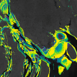
Das Murray Global Intertidal Change Dataset enthält globale Karten von Wattenmeer-Ökosystemen,die durch eine überwachte Klassifizierung von 707.528 Landsat-Archivbildern erstellt wurden. Jedes Pixel wurde anhand eines weltweit verteilten Satzes von Trainingsdaten als Wattenmeer, dauerhaftes Gewässer oder Sonstiges klassifiziert. Die/Der/Das… coastal google intertidal landsat-derived murray surface-ground-water
Datasets tagged tidal-flats in Earth Engine
[null,null,[],[],[]]