-
USGS 3DEP 10m National Map Seamless (1/3 Bogensekunde)
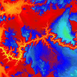
Dies ist das nahtlose 3DEP-DEM-Dataset für die USA mit vollständiger Abdeckung der 48 angrenzenden Bundesstaaten, Hawaii und der US-Territorien. Die Abdeckung von Alaska ist teilweise verfügbar und wird im Rahmen der Alaska Mapping Initiative auf den gesamten Bundesstaat ausgeweitet. Der Bodenabstand beträgt… 3dep dem elevation elevation-topography geophysical topography -
USGS 3DEP 1m National Map
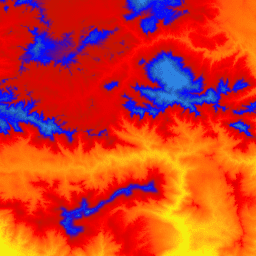
Dies ist eine gekachelte Sammlung von Bildern mit einer Pixelgröße von 1 m aus dem 3D Elevation Program (3DEP). Die 3DEP-Datenbestände dienen als Höhenebe der National Map und liefern grundlegende Höheninformationen für geowissenschaftliche Studien und Kartierungsanwendungen in den USA. 3dep dem elevation elevation-topography geophysical topography -
USGS 3DEP National Map Spatial Metadata 1/3 Arc-Second (10 m)

Dies ist eine Tabelle mit Metadaten für das 3DEP 10‑m-DEM-Asset. Die räumlichen Metadaten der Arbeitseinheit (Work unit Extent Spatial Metadata, WESM) enthalten die aktuelle Verfügbarkeit von Lidar-Daten und grundlegende Informationen zu Lidar-Projekten, einschließlich der Lidar-Qualitätsstufe, der Datenerfassungsdaten und Links zu Metadaten auf Projektebene. Weitere Informationen … 3dep elevation-topography table usgs
Datasets tagged 3dep in Earth Engine
[null,null,[],[],["The USGS 3DEP dataset offers seamless DEM data for the US, including the 48 contiguous states, Hawaii, and US territories, with partial coverage of Alaska that is being expanded. This data is available at 10m and 1m resolution. The 10m DEM has corresponding metadata table for lidar data availability. This 3DEP information serves as the elevation layer for the National Map and supports earth science studies and mapping applications.\n"]]