-
Globalna klasyfikacja lasów w 2020 r. na potrzeby szacunków biomasy nadziemnej IPCC na poziomie 1, wersja 1
Ten zbiór danych zawiera klasy lasów na całym świecie wyodrębnione według stanu/kondycji w 2020 r. w rozdzielczości około 30 m. Dane te umożliwiają generowanie szacunków poziomu 1 dotyczących gęstości suchej biomasy drzewnej nad ziemią (AGBD) w lasach naturalnych w ramach ulepszeń z 2019 r. do wytycznych IPCC z 2006 r. dotyczących krajowych inwentaryzacji gazów cieplarnianych. aboveground biomass carbon classification forest forest-biomass -
Globalne mapy gęstości węgla w biomasie nadziemnej i podziemnej
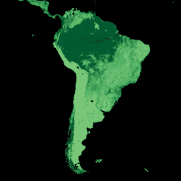
Ten zbiór danych zawiera spójne czasowo i zharmonizowane globalne mapy gęstości węgla w biomasie nadziemnej i podziemnej w 2010 r. w rozdzielczości przestrzennej 300 m. Mapa biomasy nadziemnej zawiera mapy biomasy drzew, łąk, pól uprawnych i tundry, które są specyficzne dla danego rodzaju pokrycia terenu i uzyskane za pomocą teledetekcji. Mapy wejściowe były… aboveground biomass carbon density forest forest-biomass -
USFS TreeMap v2020
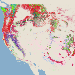
Ta usługa jest częścią pakietu danych TreeMap. Zawiera szczegółowe informacje przestrzenne o charakterystyce lasów, w tym o liczbie żywych i martwych drzew, biomasie i dwutlenku węgla na całym obszarze zalesionym Stanów Zjednoczonych w 2020 r. TreeMap v2020 zawiera 22-pasmowe dane o rozdzielczości 30 x 30 m… nadziemna biomasa dwutlenek węgla zmiany klimatu conus las -
USFS TreeMap v2022

Ta usługa jest częścią pakietu danych TreeMap. Zawiera szczegółowe informacje przestrzenne o charakterystyce lasów, w tym o liczbie żywych i martwych drzew, biomasie i dwutlenku węgla na całym obszarze zalesionym Stanów Zjednoczonych w 2022 roku. TreeMap v2022 zawiera 22-pasmowe dane o rozdzielczości 30 × 30 m… nadziemna biomasa dwutlenek węgla zmiany klimatu conus las -
WHRC Pantropical National Level Carbon Stock Dataset
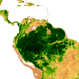
Mapa gęstości biomasy drzewnej nad ziemią w krajach tropikalnych w rozdzielczości 500 m. Ten zbiór danych powstał w wyniku połączenia pomiarów terenowych, obserwacji LiDAR i zdjęć zarejestrowanych przez spektrometr MODIS. aboveground biomass carbon forest-biomass geophysical umd
Datasets tagged aboveground in Earth Engine
[null,null,[],[],[]]