-
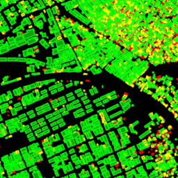
Open Buildings Temporal V1
Zbiór danych Open Buildings 2.5D Temporal zawiera informacje o obecności budynków, ułamkowych liczbach budynków i wysokościach budynków w efektywnej rozdzielczości przestrzennej 4 m (rastry są dostępne w rozdzielczości 0, 5 m) w rocznej częstotliwości od 2016 do 2023 r. Jest on tworzony na podstawie obrazów o niskiej rozdzielczości z otwartych źródeł pochodzących z … africa annual asia built-up height open-buildings -
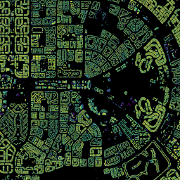
Wielokąty Open Buildings V3
Ten otwarty zbiór danych na dużą skalę zawiera kontury budynków uzyskane na podstawie zdjęć satelitarnych w wysokiej rozdzielczości 50 cm. Zawiera 1,8 mld wykryć budynków w Afryce, Ameryce Łacińskiej, na Karaibach, w Azji Południowej i Azji Południowo-Wschodniej. Wnioskowanie obejmowało obszar 58 mln km². W przypadku każdego budynku w tym zbiorze danych … africa asia building built-up open-buildings population
Datasets tagged built-up in Earth Engine
[null,null,[],[],[]]