-
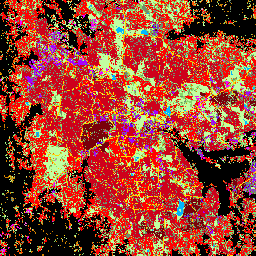
GHSL: globalna wysokość budynków w 2018 r. (P2023A)
Ten przestrzenny zbiór danych rastrowych przedstawia globalne rozmieszczenie wysokości budynków w rozdzielczości 100 m w 2018 r. Dane wejściowe użyte do przewidywania wysokości budynków to globalny cyfrowy model powierzchni ALOS (30 m), dane z misji NASA Shuttle Radar Topographic Mission… alos building built built-environment builtup copernicus -
GHSL: globalna kubatura budynków w latach 1975–2030 (P2023A)
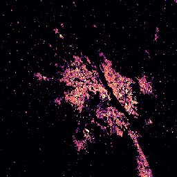
Ten zbiór danych rastrowych przedstawia globalne rozmieszczenie kubatury budynków wyrażonej w metrach sześciennych na komórkę siatki o wymiarach 100 m. Zbiór danych zawiera informacje o łącznej kubaturze budynków oraz kubaturze budynków przypisanej do komórek siatki, w których przeważa użytkowanie niemieszkalne (NRES). Oszacowania są oparte na zabudowie… alos building built-environment copernicus dem ghsl -
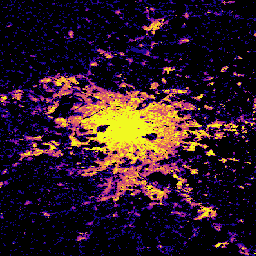
GHSL: globalne charakterystyki osadnictwa (10 m) w 2018 r. (P2023A)
Ten przestrzenny zbiór danych rastrowych wyznacza osady ludzkie w rozdzielczości 10 m i opisuje ich wewnętrzne cechy pod względem funkcjonalnych i związanych z wysokością komponentów środowiska zabudowanego. Więcej informacji o zbiorach danych GHSL znajdziesz w raporcie GHSL Data Package 2023… building built builtup copernicus ghsl height -
Wielokąty Open Buildings V3
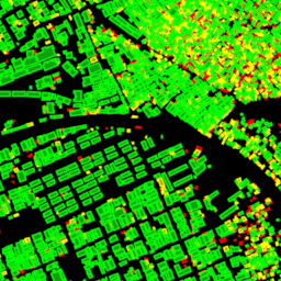
Ten otwarty zbiór danych na dużą skalę zawiera kontury budynków uzyskane na podstawie zdjęć satelitarnych w wysokiej rozdzielczości (50 cm). Zawiera 1,8 mld wykryć budynków w Afryce, Ameryce Łacińskiej, na Karaibach, w Azji Południowej i Azji Południowo-Wschodniej. Wnioskowanie obejmowało obszar o powierzchni 58 mln km². W przypadku każdego budynku w tym zbiorze danych… africa asia building built-up open-buildings population
Datasets tagged building in Earth Engine
[null,null,[],[],["The content describes four datasets focused on building data. One dataset, \"Open Buildings V3 Polygons,\" provides 1.8 billion building outlines derived from 50 cm satellite imagery across Africa, Latin America, the Caribbean, and South and Southeast Asia. The other three, from GHSL, provide spatial raster data describing human settlements at 10m resolution with functional and height characteristics; global building heights at 100m resolution; and global building volume from 1975-2030 in cubic meters.\n"]]