-
GHSL: Global building height 2018 (P2023A)
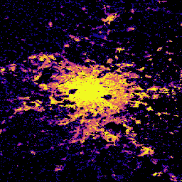
Ten przestrzenny zbiór danych rastrowych przedstawia globalny rozkład wysokości budynków w rozdzielczości 100 m w odniesieniu do 2018 r. Dane wejściowe używane do przewidywania wysokości budynków to ALOS Global Digital Surface Model (30 m), NASA Shuttle Radar Topographic Mission… alos building built built-environment builtup copernicus -
GHSL: Global settlement characteristics (10 m) 2018 (P2023A)
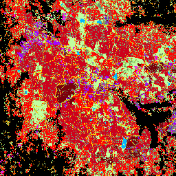
Ten przestrzenny zbiór danych rastrowych wyznacza obszary zamieszkane przez ludzi w rozdzielczości 10 m i opisuje ich wewnętrzne cechy pod względem funkcjonalnych i związanych z wysokością elementów środowiska zabudowanego. Więcej informacji o produktach danych GHSL znajdziesz w raporcie GHSL Data Package 2023… building built builtup copernicus ghsl height -
Open Buildings Temporal V1
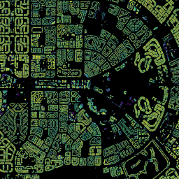
Zbiór danych Open Buildings 2.5D Temporal Dataset zawiera dane o obecności budynków, ułamkowych liczbach budynków i wysokościach budynków w efektywnej rozdzielczości przestrzennej 4 m (rastry są udostępniane w rozdzielczości 0, 5 m) w rocznej częstotliwości od 2016 r.do 2023 r. Jest on tworzony na podstawie obrazów o niskiej rozdzielczości pochodzących z otwartych źródeł, które są udostępniane przez … afryka roczne azja zabudowa wysokość budynki-otwarte
Datasets tagged height in Earth Engine
[null,null,[],[],["The Open Buildings Temporal Dataset offers annual data from 2016-2023 on building presence, counts, and heights at a 4m resolution, derived from low-resolution imagery. The GHSL dataset provides 10m resolution data on human settlements, detailing built environment characteristics and heights. Another GHSL dataset maps global building heights at 100m resolution for 2018, using data from sources like the ALOS Global Digital Surface Model.\n"]]