-
カナダ AAFC の年次作物インベントリ
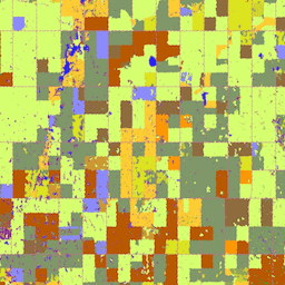
2009 年から、カナダ農務省(AAFC)の科学技術部門(STB)の地球観測チームは、年次作物タイプのデジタル地図の作成を開始しました。2009 年と 2010 年には、プレーリー州に焦点を当て、決定木(DT)に基づく手法を採用しました。 agriculture canada crop landcover -
カナダの数値標高モデル
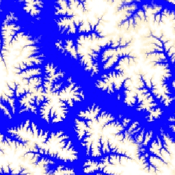
カナダの数値標高モデル(CDEM)は、カナダ天然資源省(NRCan)の高度測定システムの一部であり、既存のカナダの数値標高データ(CDED)に由来します。これらのデータでは、標高は地表または反射面の標高のいずれかになります。CDEM は、複数の DEM で構成されています。 canada dem elevation elevation-topography geophysical topography -
Landsat から派生したカナダの森林年齢(2019 年)
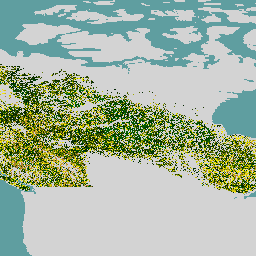
カナダの原生林データセットは、カナダの森林エコゾーン全体の 2019 年の衛星ベースの森林年齢マップで、空間解像度は 30 m です。年齢を判断するために、Landsat(撹乱、地表反射率合成、森林構造)と MODIS(総一次生産)のリモートセンシング データが使用されます。森林年齢は次のようになります。 canada forest forest-biomass -
SCANFI: カナダ全国森林インベントリの空間化データ プロダクト 1.2

このデータ公開には、広範な土地被覆タイプ、森林樹冠高、樹冠閉鎖度、地上樹木バイオマスを表す 30 m 解像度のラスタファイルと、いくつかの主要な樹種の種構成を表す 2020 年のカナダのウォールツーウォール マップが含まれています。カナダ全国森林インベントリの空間化… canada forest forest-biomass publisher-dataset tree-cover
Datasets tagged canada in Earth Engine
[null,null,[],[],["Agriculture and Agri-Food Canada (AAFC) initiated annual crop type mapping in 2009, starting with the Prairie Provinces, using a Decision Tree methodology. A 2019 satellite-based forest age map of Canada was created utilizing Landsat and MODIS data at a 30-meter resolution. Natural Resources Canada's (NRCan) Canadian Digital Elevation Model (CDEM), part of the altimetry system, provides elevation data comprising multiple Digital Elevation Models (DEMs).\n"]]