-
CSP gHM: Global Human Modification(전 세계 인적 수정)
전 세계 인간 수정 데이터 세트 (gHM)는 1제곱킬로미터 해상도로 전 세계 육지의 인간 수정 누적 측정값을 제공합니다. gHM 값은 0.0~1.0이며, 수정된 특정 위치 (픽셀)의 비율, 추정 강도 등을 추정하여 계산됩니다. csp fragmentation human-modification landcover landscape-gradient population -
FireCCI51: MODIS Fire_cci 소실 면적 픽셀 제품, 버전 5.1

MODIS Fire_cci 소실 면적 픽셀 제품 버전 5.1 (FireCCI51)은 소실 면적과 보조 데이터에 관한 정보가 포함된 월별 전 세계 ~250m 공간 해상도 데이터 세트입니다. 이 데이터 세트는 MODIS 기기에 탑재된 근적외선 (NIR) 대역의 표면 반사율을 기반으로 합니다. burn cci climate-change copernicus esa fire -
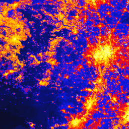
TNC Global Human Modification v3 (정적 스냅샷 90분)

Global Human Modification v3 데이터 세트는 전 세계 육상 생태계 (남극 제외)에 대한 누적 인간 압력을 측정합니다. 이 데이터는 1990년부터 2022년까지의 데이터를 추적하며 보존 계획, 정책 수립, 연구를 위해 인간의 영향을 정량화하는 데 도움이 됩니다. 2022년 정적 스냅샷 ('s' 시리즈)입니다. 단편화 인간에 의한 수정 토지 피복 지형 경사 인구 스트레스 요인
Datasets tagged fragmentation in Earth Engine
[null,null,[],[],[]]