-
CSP gHM: 전 세계 인간 개조
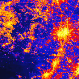
전 세계 인간 개조 데이터 세트 (gHM)는 전 세계 육지의 인간 개조 누적 측정값을 1제곱킬로미터 해상도로 제공합니다. gHM 값은 0.0~1.0이며, 개조된 특정 위치 (픽셀)의 비율과 추정 강도를 추정하여 계산됩니다. csp fragmentation human-modification landcover landscape-gradient population -
FireCCI51: MODIS Fire_cci 소손 면적 픽셀 제품, 버전 5.1

MODIS Fire_cci 소손 면적 픽셀 제품 버전 5.1 (FireCCI51)은 소손 면적에 관한 정보와 보조 데이터가 포함된 월별 전 세계 ~250m 공간 해상도 데이터 세트입니다. 이 데이터 세트는 MODIS 기기에 탑재된 근적외선 (NIR) 대역의 표면 반사율을 기반으로 합니다. burn climate-change copernicus esa fire fragmentation
Datasets tagged human-modification in Earth Engine
[null,null,[],[],["The Global Human Modification (gHM) dataset measures human impact on land at a 1-square-kilometer scale, with values from 0.0 to 1.0 representing the proportion and intensity of modification. The FireCCI51 dataset is a monthly, global dataset with roughly 250m resolution, providing information on burned areas using Near Infrared surface reflectance from the MODIS instrument, including additional related data. Both datasets contain information related to fragmentation.\n"]]