-
GRIDMET DROUGHT: CONUS 干ばつ指数
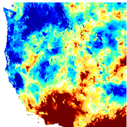
このデータセットには、4 km の日次グリッド化された地表気象(GRIDMET)データセットから導出された干ばつ指数が含まれています。提供される干ばつ指数には、標準化降水指数(SPI)、蒸発干ばつ需要指数(EDDI)、標準化降水蒸発散指数(SPEI)、パーマー干ばつ深刻度指数(PDSI)、パーマー… climate conus crop drought evapotranspiration geophysical -
GRIDMET: アイダホ大学のグリッド化された地表気象データセット

Gridded Surface Meteorological データセットは、1979 年から米国本土の温度、降水量、風、湿度、放射線の高空間解像度(約 4 km)の毎日の地表フィールドを提供します。このデータセットは、PRISM の高解像度空間データと … の高時間解像度データをブレンドしています。 climate gridmet humidity merced metdata precipitation
Datasets tagged metdata in Earth Engine
[null,null,[],[],["The datasets provide climate and drought-related information for the contiguous United States. The GRIDMET dataset offers daily surface measurements like temperature, precipitation, humidity, winds, and radiation at a 4-km resolution from 1979. The GRIDMET Drought dataset contains drought indices derived from the GRIDMET dataset, including the Standardized Precipitation Index (SPI), Evaporative Drought Demand Index (EDDI), and the Palmer Drought Severity Index (PDSI). These sets focus on daily, gridded data at a high resolution.\n"]]