-
GHSL: グローバルな集落の特性(10 m)2018(P2023A)
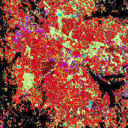
この空間ラスター データセットは、10 m の解像度で人間の居住地を区切り、構築された環境の機能的および高さ関連のコンポーネントの観点から、その内部特性を記述します。GHSL データ プロダクトの詳細については、GHSL Data Package 2023 レポートをご覧ください。 building built builtup copernicus ghsl height -
TIGER: 米国国勢調査道路

この米国国勢調査局の TIGER データセットには、2016 年のリリースに含まれるすべての道路セグメントが含まれています。これには、米国、コロンビア特別区、プエルトリコ、島嶼部をカバーする 1,900 万を超える個々の線形フィーチャが含まれています。各フィーチャは道路セグメントのジオメトリ(…)を表します。 census infrastructure-boundaries roads table tiger us
Datasets tagged roads in Earth Engine
[null,null,[],[],["The content describes two spatial datasets. The first, GHSL, delineates human settlements at 10m resolution, detailing functional and height-related aspects of the built environment. The second, TIGER, from the US Census Bureau, contains over 19 million road segments from the 2016 release, covering the US, District of Columbia, Puerto Rico, and Island Areas, each represented by a road segment geometry.\n"]]