-
Globale Waldklassifizierung für 2020 für IPCC-Schätzungen der oberirdischen Biomasse der Stufe 1, Version 1
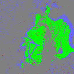
Dieses Dataset enthält Klassen globaler Wälder, die nach Status/Zustand im Jahr 2020 mit einer Auflösung von etwa 30 m abgegrenzt wurden. Die Daten unterstützen die Erstellung von Schätzungen der Stufe 1 für die oberirdische trockene holzige Biomasse-Dichte (Aboveground dry woody Biomass Density, AGBD) in natürlichen Wäldern in der 2019 Refinement to the 2006 IPCC Guidelines for National Greenhouse … aboveground biomass carbon classification forest forest-biomass -
Globale Karten der Kohlenstoffdichte der oberirdischen und unterirdischen Biomasse

Dieses Dataset enthält zeitlich konsistente und harmonisierte globale Karten der Kohlenstoffdichte der oberirdischen und unterirdischen Biomasse für das Jahr 2010 mit einer räumlichen Auflösung von 300 m. Die Karte der oberirdischen Biomasse enthält landschaftsbezogene, fernerkundete Karten der Biomasse von Holz, Grasland, Ackerland und Tundra. Die Eingabekarten wurden … aboveground biomass carbon density forest forest-biomass -
USFS TreeMap v2020
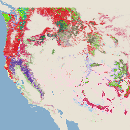
Dieses Produkt ist Teil der TreeMap-Datensuite. Es enthält detaillierte räumliche Informationen zu den Waldeigenschaften, einschließlich der Anzahl lebender und toter Bäume, der Biomasse und des Kohlenstoffs in den gesamten Waldgebieten der Vereinigten Staaten im Jahr 2020. TreeMap v2020 enthält 22-Band-Daten mit einer Auflösung von 30 × 30 m … aboveground biomass carbon climate-change conus forest -
USFS TreeMap v2022

Dieses Produkt ist Teil der TreeMap-Datensuite. Es enthält detaillierte räumliche Informationen zu den Waldeigenschaften, einschließlich der Anzahl lebender und toter Bäume, der Biomasse und des Kohlenstoffs in den gesamten Waldgebieten der Vereinigten Staaten im Jahr 2022. TreeMap v2022 enthält 22-Band-Daten mit einer Auflösung von 30 × 30 m … aboveground biomass carbon climate-change conus forest -
WHRC Pantropical National Level Carbon Stock Dataset

Eine Karte der oberirdischen lebenden holzigen Biomasse-Dichte für tropische Länder mit einer Auflösung von 500 m. Dieses Dataset wurde aus einer Kombination von Feldmessungen, LiDAR-Beobachtungen und Bildern des Moderate Resolution Imaging Spectroradiometer (MODIS) zusammengestellt. aboveground biomass carbon forest-biomass geophysical umd
Datasets tagged aboveground in Earth Engine
[null,null,[],[],[]]