-
GLCF: Landsat Global Inland Water

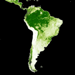
Das Dataset „Global Inland Water“ zeigt Binnengewässer, darunter Süß- und Salzseen, Flüsse und Stauseen. In der GLS-Epoche 2000 wurden 3.650.723 km² Binnengewässer identifiziert, von denen sich etwa drei Viertel in Nordamerika und Asien befanden. Boreale Wälder und Tundra … glcf landsat-derived nasa surface-ground-water umd water -
Globale Veränderungen der Waldbedeckung (Global Forest Cover Change, GFCC) – mehrjährige globale Daten zur Waldbedeckung (30 m)
Die Landsat-VCF-Schichten (Vegetation Continuous Fields) für den Baumbestand enthalten Schätzungen des Prozentsatzes der horizontalen Bodenfläche in jedem 30‑m-Pixel, die von holziger Vegetation mit einer Höhe von mehr als 5 Metern bedeckt ist. Das Dataset ist für vier Epochen verfügbar, die auf die Jahre 2000, 2005, 2010 … forest forest-biomass glcf landsat-derived nasa umd
Datasets tagged glcf in Earth Engine
[null,null,[],[],[]]