-
GHSL: Degree of Urbanization 1975-2030 V2-0(P2023A)

このラスター データセットは、国連統計委員会が推奨する「都市化の度合い」ステージ I の方法論を適用し、GHSL プロジェクトが 5 年間隔で 1975 ~ 2030 年の期間に生成したグローバルなグリッド化された人口と建物表面データに基づいて、グローバルなマルチテンポラルな農村部と都市部の分類を表しています。学位 … ghsl jrc population sdg settlement -
GHSL: Global building height 2018(P2023A)
この空間ラスター データセットは、2018 年を基準として、100 m の解像度で建物の高さのグローバル分布を示しています。建物の高さの予測に使用された入力データは、ALOS グローバル デジタル サーフェス モデル(30 m)、NASA スペースシャトル レーダー地形ミッション… alos building built built-environment builtup copernicus -
GHSL: 世界の建築量 1975 ~ 2030 年(P2023A)
このラスター データセットは、建物の体積の世界的な分布を 100 メートル四方のグリッド セルあたりの立方メートルで表しています。このデータセットでは、建物の総容積と、主に非住宅(NRES)用途のグリッドセルに割り当てられた建物の容積を測定します。推定値は、蓄積された… alos building built-environment copernicus dem ghsl -
GHSL: 全球の市街地表面(10 m)(P2023A)
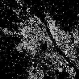
このラスター データセットは、S2 画像データから観測された 2018 年の建物表面の分布を、10 m グリッドセルあたりの平方メートルで表しています。データセットは、a)総建築面積と、b)… のグリッド セルに割り当てられた建築面積を測定します。 built built-environment builtup copernicus ghsl jrc -
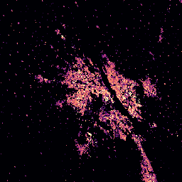
GHSL: Global built-up surface 1975-2030(P2023A)
このラスター データセットは、100 m グリッド セルあたりの平方メートルで表される、構築されたサーフェスの分布を示しています。このデータセットは、a) 構築されたサーフェスの合計と、b) 主に非住宅(NRES)用途のグリッド セルに割り当てられた構築されたサーフェスを測定します。データは空間的および時間的に補間されるか、… built built-environment builtup copernicus ghsl jrc -
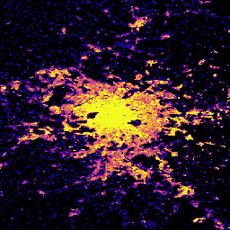
GHSL: Global population surfaces 1975-2030(P2023A)
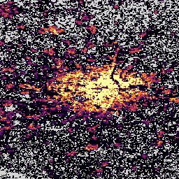
このラスター データセットは、居住人口の空間分布をセル内の居住者の絶対数で表しています。CIESIN GPWv4.11 から導出された 1975 年から 2020 年までの 5 年間隔の居住人口の推定値と、2025 年と 2030 年の予測値は、国勢調査または… ghsl jrc population sdg -
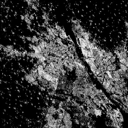
GHSL: 全球の集落の特性(10 m)2018 年(P2023A)
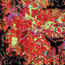
この空間ラスター データセットは、10 m の解像度で人間の居住地を区切り、その内部特性を、構築された環境の機能的および高さ関連のコンポーネントの観点から説明しています。GHSL データ プロダクトの詳細については、GHSL データ パッケージ 2023 レポートをご覧ください。 building built builtup copernicus ghsl height
Datasets tagged sdg in Earth Engine
[null,null,[],[],[]]