İşaretçilere genel bakış
Koleksiyonlar ile düzeninizi koruyun
İçeriği tercihlerinize göre kaydedin ve kategorilere ayırın.
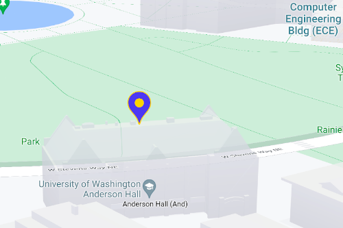
Haritada tek konumları göstermek için işaretçileri kullanın. Bu kılavuzda, gelişmiş işaretçileri nasıl kullanacağınız gösterilmektedir. Gelişmiş işaretçilerle yüksek performanslı işaretçiler oluşturup özelleştirebilir, DOM tıklama etkinliklerine ve klavye girişine yanıt veren erişilebilir işaretçiler oluşturabilirsiniz. Daha da ayrıntılı özelleştirme için gelişmiş işaretçiler, tamamen özel işaretçiler oluşturma özelliği de dahil olmak üzere özel HTML ve CSS kullanımını destekler. 3D uygulamalarda
işaretçinin göründüğü yüksekliği kontrol edebilirsiniz.
Gelişmiş işaretçiler hem raster hem de vektör haritalarda desteklenir (bazı özellikler raster haritalarda kullanılamaz).
Gelişmiş işaretçileri kullanmak için harita kimliği gerekir (DEMO_MAP_ID
kullanılabilir).
Gelişmiş işaretçileri kullanmaya başlama
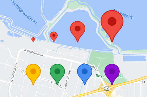
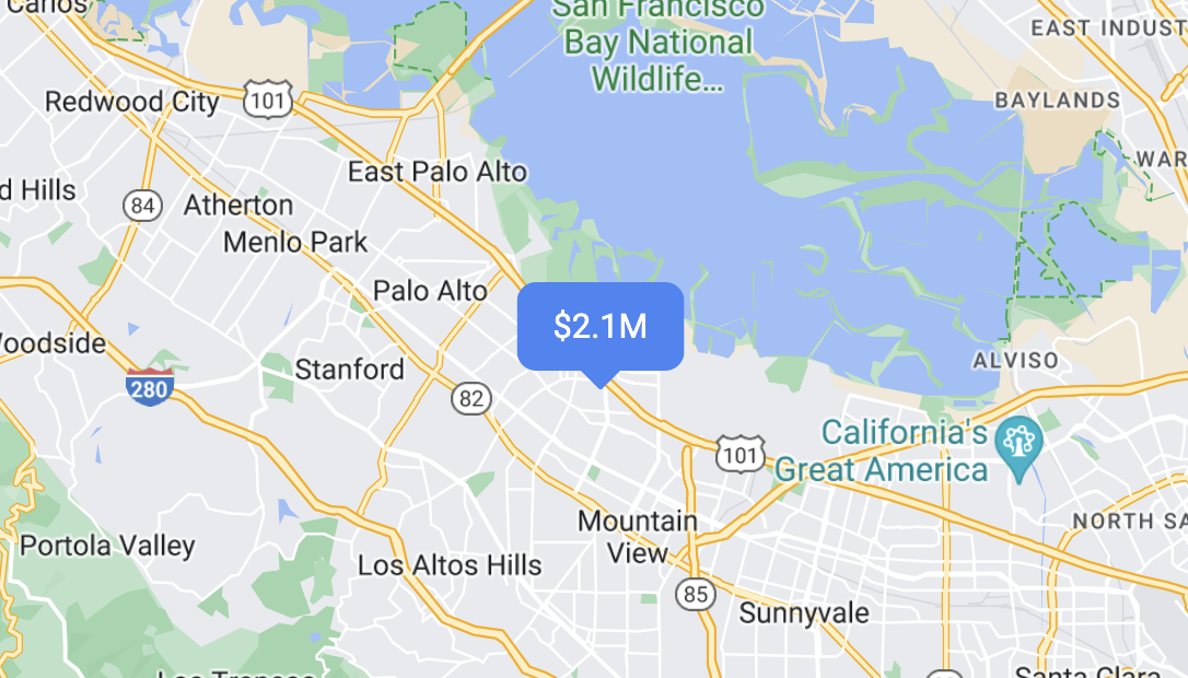
Rengi, ölçeği ve simge resmini özelleştirme
Varsayılan işaretçinin arka planını, glifini ve kenarlık rengini özelleştirin ve işaretçi boyutunu ayarlayın.
Varsayılan işaretçi simgesini özel bir SVG veya PNG resmiyle değiştirin.
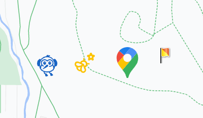
Özel HTML işaretçileri oluşturma
Görsel olarak belirgin etkileşimli işaretçiler ve animasyonlar oluşturmak için özel HTML ve CSS kullanın.
İşaretçilerin tıklama ve klavye etkinliklerine yanıt vermesini sağlama
click
etkinlik işleyici ekleyerek işaretçinin tıklama ve klavye etkinliklerine yanıt vermesini sağlayın.
function initMap() {
const map = new google.maps.Map(document.getElementById('map'), {
center: {lat: 37.4239163, lng: -122.0947209},
zoom: 17,
mapId: 'DEMO_MAP_ID',
});
const marker = new google.maps.marker.AdvancedMarkerElement({
map,
position: {lat: 37.4239163, lng: -122.0947209},
});
marker.addListener('click', ({domEvent, latLng}) => {
const {target} = domEvent;
// Handle the click event.
// ...
});
}
İşaretçi yüksekliğini ve çarpışma davranışını ayarlama
Bir işaretçinin yüksekliğini ayarlayarak 3D harita öğeleriyle doğru şekilde görünmesini sağlayın ve bir işaretçinin başka bir işaretçiyle veya harita etiketiyle çarpıştığında nasıl davranması gerektiğini belirtin. İşaretçi yüksekliği yalnızca vektör haritalarda desteklenir.
Sonraki adım
Aksi belirtilmediği sürece bu sayfanın içeriği Creative Commons Atıf 4.0 Lisansı altında ve kod örnekleri Apache 2.0 Lisansı altında lisanslanmıştır. Ayrıntılı bilgi için Google Developers Site Politikaları'na göz atın. Java, Oracle ve/veya satış ortaklarının tescilli ticari markasıdır.
Son güncelleme tarihi: 2025-08-17 UTC.
[null,null,["Son güncelleme tarihi: 2025-08-17 UTC."],[[["\u003cp\u003eAdvanced markers offer highly performant and customizable options for displaying single locations on Google Maps, including custom HTML and CSS for unique designs.\u003c/p\u003e\n"],["\u003cp\u003eThey are accessible, responding to DOM click events and keyboard input for enhanced user interaction.\u003c/p\u003e\n"],["\u003cp\u003eCustomization options include changing color, scale, icon image, and creating custom HTML markers with interactive elements and animations.\u003c/p\u003e\n"],["\u003cp\u003eAltitude control is available for 3D applications, enabling precise marker placement in three-dimensional spaces, although this feature is limited to vector maps.\u003c/p\u003e\n"],["\u003cp\u003eAdvanced markers are compatible with both raster and vector maps, requiring a map ID for implementation, and offer improved performance compared to legacy markers.\u003c/p\u003e\n"]]],["Advanced markers allow customization of map markers, including color, scale, and icons (SVG/PNG). Users can employ custom HTML and CSS for unique designs and animations. Markers can be made interactive via `click` event listeners, handling user clicks and keyboard input. Altitude and collision behavior can be defined for 3D maps. A map ID, like `DEMO_MAP_ID`, is needed, and these advanced markers are available on Android, iOS, and JavaScript platforms, supporting both raster and vector maps.\n"],null,["Select platform: [Android](/maps/documentation/android-sdk/advanced-markers/overview \"View this page for the Android platform docs.\") [iOS](/maps/documentation/ios-sdk/advanced-markers/overview \"View this page for the iOS platform docs.\") [JavaScript](/maps/documentation/javascript/advanced-markers/overview \"View this page for the JavaScript platform docs.\")\n\n\u003cbr /\u003e\n\nUse markers to display single locations on a map. This guide shows you how to\nuse advanced markers. With\nadvanced markers you can create and customize highly\nperformant markers, and make accessible markers that respond to DOM click events\nand keyboard input. For even deeper customization,\nadvanced markers supports the use of custom HTML and CSS,\nincluding the ability to create completely custom markers. For 3D applications\nyou can control the altitude at which a marker appears.\nAdvanced markers are supported on both raster and vector maps (though some features are not available on raster maps).\nA map ID is required to use Advanced Markers (the `DEMO_MAP_ID` can be used).\n| **Tip:** If your map uses [legacy markers](/maps/documentation/javascript/markers), consider [migrating to advanced markers](/maps/documentation/javascript/advanced-markers/migration).\n\n[Get started with advanced markers](/maps/documentation/javascript/advanced-markers/start)\n\nCustomize color, scale, and icon image\n\nCustomize the default marker's background, glyph, and border\ncolor, and adjust marker size.\n\nReplace the default marker icon with a custom SVG or PNG image.\n\nCreate custom HTML markers\n\nUse custom HTML and CSS to create visually distinctive\ninteractive markers, and create animations.\n\nMake markers respond to click and keyboard events\n\nMake a marker respond to clicks and keyboard events by adding a\n`click` event listener. \n\n```javascript\nfunction initMap() {\n const map = new google.maps.Map(document.getElementById('map'), {\n center: {lat: 37.4239163, lng: -122.0947209},\n zoom: 17,\n mapId: 'DEMO_MAP_ID',\n });\n\n const marker = new google.maps.marker.AdvancedMarkerElement({\n map,\n position: {lat: 37.4239163, lng: -122.0947209},\n });\n\n marker.addListener('click', ({domEvent, latLng}) =\u003e {\n const {target} = domEvent;\n // Handle the click event.\n // ...\n });\n}\n```\n\nSet marker altitude and collision behavior\n\nSet the altitude for a marker to make it appear correctly with\n3D map elements, and specify how a marker should behave when it collides with\nanother marker or map label. Marker altitude is only supported on vector maps.\n\nNext step\n\n- [Get started with advanced markers](/maps/documentation/javascript/advanced-markers/start)"]]