Page Summary
-
The Earth Engine API consists of objects representing data types and methods, which are combined in workflow scripts for server processing.
-
Common Earth Engine object classes include Image, ImageCollection, Geometry, Feature, FeatureCollection, Reducer, Join, Array, and Chart.
-
The full list of Earth Engine classes and methods is available in the API Reference Guide and the JavaScript Code Editor Docs tab.
The Earth Engine API is composed of objects and methods. Objects represent data types such as raster images, vector features, numbers, and strings. Each of these objects belongs to a specific class, and each class has a strict set of functions available to it.
Objects and methods are combined in workflow scripts and sent to Earth Engine servers for processing. Learn about common object classes and their methods by clicking on the following cards to see example procedures.
The full list of Earth Engine classes and their methods can be found in the
Client Libraries section of the API Reference Guide
(e.g. ee.Image.add). The same
reference information is also available under the JavaScript Code Editor
Docs tab.
Common Earth Engine object classes
Image
The fundamental raster data type in Earth Engine.
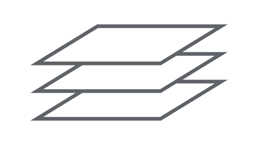
ImageCollection
A set of images.
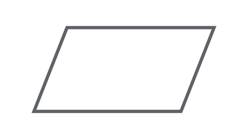
Geometry
The fundamental vector data type in Earth Engine.
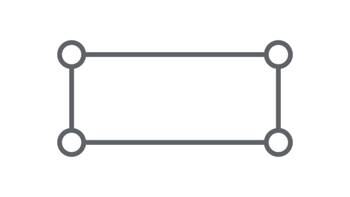
Feature
A geometry with attributes.
FeatureCollection
A set of features.
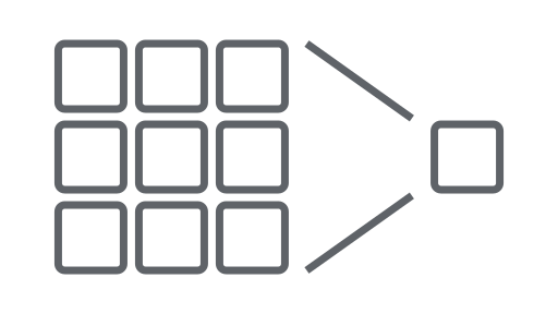
Reducer
An object used to compute statistics or perform aggregations.
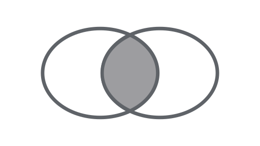
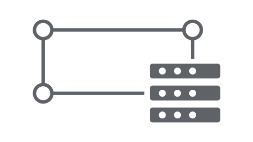
Join
Combine datasets (Image or Feature collections) based on time, location, or an attribute property.
Array
An object for multi-dimensional analyses.

Chart
An object for charting properties and spatiotemporal reductions.