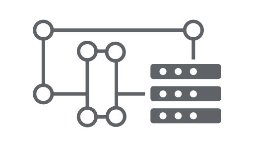
Earth Engine API, nesnelerden ve yöntemlerden oluşur. Nesneler; raster görüntüler, vektör özellikleri, sayılar ve dizeler gibi veri türlerini temsil eder. Bu nesnelerin her biri belirli bir sınıfa aittir ve her sınıfın kullanabileceği belirli bir işlev grubu vardır.
Nesneler ve yöntemler iş akışı komut dosyalarında birleştirilir ve işlenmek üzere Earth Engine sunucularına gönderilir. Örnek prosedürleri görmek için aşağıdaki kartları tıklayarak yaygın nesne sınıfları ve yöntemleri hakkında bilgi edinin.
Earth Engine sınıflarının ve yöntemlerinin tam listesini API Referans Kılavuzu'nun İstemci Kitaplıkları bölümünde bulabilirsiniz (ör. ee.Image.add). Aynı referans bilgilerine JavaScript Kod Düzenleyici'nin Dokümanlar sekmesinden de ulaşabilirsiniz.
Sık kullanılan Earth Engine nesne sınıfları
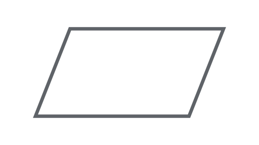
Resim
Earth Engine'daki temel raster veri türü.
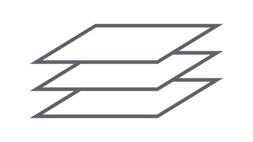
ImageCollection
Bir resim grubu.
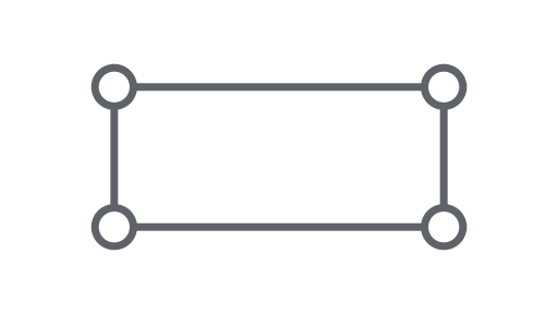
Geometri
Earth Engine'daki temel vektör veri türü.
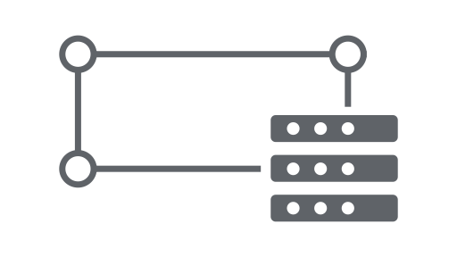
Özellik
Özellikleri olan bir geometri.
FeatureCollection
Bir özellik grubu.
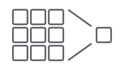
Azaltıcı
İstatistikleri hesaplamak veya toplama yapmak için kullanılan bir nesne.
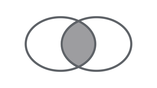
Katıl
Veri kümelerini (Görsel veya Öğe koleksiyonları) zamana, konuma veya bir özellik özelliğine göre birleştirin.
Dizi
Çok boyutlu analizler için bir nesne.
Grafik
Özellikleri ve uzay-zaman azaltmalarını grafik haline getirmek için kullanılan bir nesne.