本文档旨在帮助您确定 Earth Engine Data Catalog(目前包括 Landsat、Sentinel 和 MODIS)中是否缺少资源。
下面的步骤介绍了如何执行以下操作:
查看 Earth Engine 和提供商目录中的可用资产。
收集向 Earth Engine 数据团队提交缺失资源确认所需的信息。
常见注意事项
处理级别:并非所有图片都适用于给定的处理级别或产品。例如,画质较差的图片可能无法处理到最高级别。
时空范围:无法保证每个数据集的更新频率是固定的。传感器任务、图片质量和归档管理方面的差异可能会影响提供商数据的可用性。
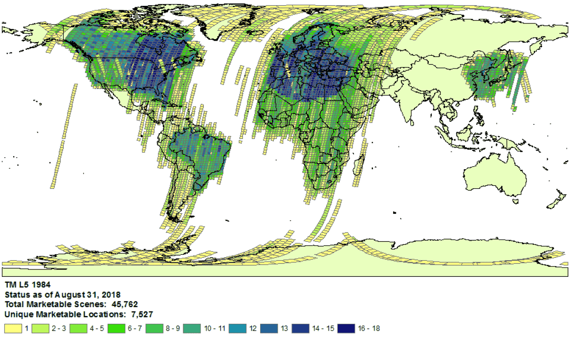 1984 年 Landsat 5 数据集覆盖范围示例。
- 提供方选择:系统会根据每个数据集从所选提供方提取数据并将其提取到 Earth Engine Data Catalog。提供商可能未提供完整的任务归档。例如,Landsat 数据集是从 USGS 归档中提取的,而该归档中已知缺少特定时间段内某些接收站的图像(如需了解详情,请参阅 LGAC 计划)。
Landsat
Landsat 数据从美国地质调查局 (USGS) 提取。
确认感兴趣的时间和区域的 Landsat 覆盖范围可用性。
在 Earth Engine 中执行搜索,获取感兴趣的时间和区域的所有资产列表。请务必确保代码中没有意外滤除任何素材资源。以下是一个示例脚本;请确保您使用正确的层级和处理级别导入集合(详细了解 Landsat 集合结构)。
在 USGS Earth Explorer 目录中查找可能缺失的资产(如需了解有关执行搜索和选择数据集的详细步骤,请参阅帮助指南)。请确保您比较的是正确的产品和处理级别(请参阅 Landsat 数据集结构)。请注意,系统仅针对处理级别为 L1TP 的 Landsat 图像生成地表反射率产品。
提交工单,提供提供商的产品 ID 和指向 Earth Engine 代码编辑器脚本的链接,以确认缺少资源,从而分享缺少资源的详细证据。
Sentinel
Sentinel 数据从 Copernicus Dataspace 网站提取。
确认感兴趣的时间和区域是否有 Sentinel 数据可用(请参阅任务详情)。
注意:自 2018 年 3 月起,Sentinel-2 Level-2A 产品仅在欧洲的陆地段系统地生成,并于 2018 年 12 月扩展到全球(如需了解详情,请参阅 ESA 用户指南)。 它们最终会作为合集 1 的一部分重新生成。
在 Earth Engine 中执行搜索,获取感兴趣的时间和区域的所有资产列表。请务必确保您的代码中没有意外滤除任何素材资源。下面是一个示例脚本;请确保您使用正确的处理级别导入合集。
在 Copernicus 目录中查找可能缺失的资产。
提交工单,提供提供商的产品 ID 和指向 Earth Engine 代码编辑器脚本的链接,以确认缺少资源,从而分享缺少资源的详细证据。
MODIS
MODIS 数据从陆地过程分布式活跃归档中心 (LP DAAC) 提取。
在 Earth Engine 中执行搜索,获取感兴趣的时间和区域的所有资产列表。请务必确保您的代码中没有意外滤除任何素材资源。以下是脚本示例;请确保您导入的是预期的商品。
在 USGS 数据库中查找可能缺失的资产,看看是否有尚未添加到 Earth Engine 中的资产。前往相应文件夹,并确定最新的可用目录。
以“MOD”开头的数据集位于“Terra MODIS”中
以“MYD”开头的数据集位于“Aqua MODIS”中
以“MCD”开头的数据集位于“组合 MODIS 数据集”中
以“VNP”开头的数据集位于“S-NPP VIIRS”中
提交工单,提供提供商的产品 ID 和指向 Earth Engine 代码编辑器脚本的链接,以确认缺少资源,从而分享缺少资源的详细证据。