Interfejs API Earth Engine składa się z obiektów i metod. Obiekty reprezentują typy danych, takie jak obrazy rastrowe, cechy wektorowe, liczby i ciągi znaków. Każdy z tych obiektów należy do określonej klasy, a każda klasa ma do dyspozycji ściśle określony zestaw funkcji.
Obiekty i metody są łączone w skryptach przepływu pracy i wysyłane do serwerów Earth Engine w celu przetworzenia. Aby dowiedzieć się więcej o typowych klasach obiektów i ich metodach, kliknij karty poniżej, aby zobaczyć przykładowe procedury.
Pełną listę klas Earth Engine i ich metod znajdziesz w sekcji Biblioteki klienta w przewodniku API (np. ee.Image.add). Te same informacje znajdziesz też na karcie Dokumenty w edytorze kodu JavaScript.
Typowe klasy obiektów Earth Engine
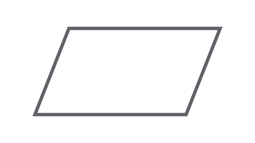
Obraz
Podstawowy typ danych rastrowych w Earth Engine.
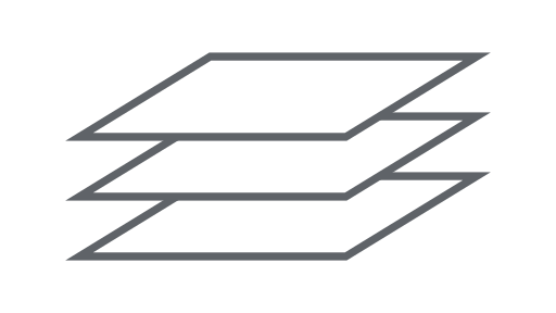
ImageCollection
Zestaw obrazów.
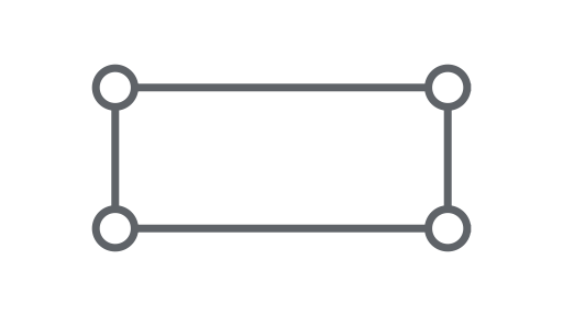
Geometria
Podstawowy typ danych wektorów w Earth Engine.
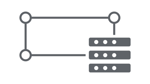
Funkcja
Geometria z atrybutami.

FeatureCollection
Zbiór funkcji.

Ograniczenie
Obiekt służący do obliczania statystyk lub wykonywania agregacji.
Dołącz
Łączenie zbiorów danych (zbiór obrazów lub zbiór cech) na podstawie czasu, lokalizacji lub właściwości atrybutu.
Tablica
Obiekt do analiz wielowymiarowych.

Wykres
Obiekt do przedstawiania właściwości i redukcji czasoprzestrzennych.