A API Earth Engine é composta por objetos e métodos. Os objetos representam tipos de dados, como imagens raster, elementos vetoriais, números e strings. Cada um desses objetos pertence a uma classe específica, e cada classe tem um conjunto rígido de funções disponíveis.
Os objetos e métodos são combinados em scripts de fluxo de trabalho e enviados aos servidores do Earth Engine para processamento. Saiba mais sobre classes de objetos comuns e os métodos deles clicando nos cards a seguir para conferir exemplos de procedimentos.
A lista completa de classes do Earth Engine e os métodos delas podem ser encontradas na seção Bibliotecas de cliente do Guia de referência da API (por exemplo, ee.Image.add). As mesmas informações de referência também estão disponíveis na guia Docs do Editor de código JavaScript.
Classes de objetos comuns do Earth Engine
Imagem
O tipo de dados raster fundamental no Earth Engine.

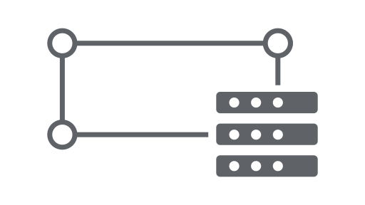
ImageCollection
Um conjunto de imagens.

Geometria
O tipo de dados vetorial fundamental no Earth Engine.
Recurso
Uma geometria com atributos.
FeatureCollection
Um conjunto de recursos.
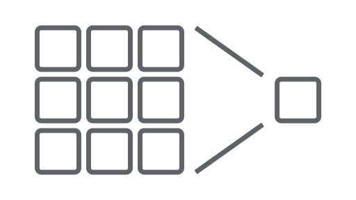
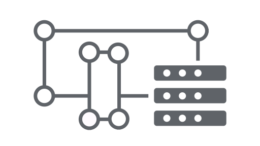
Redutor
Um objeto usado para calcular estatísticas ou realizar agregações.
Participar
Combine conjuntos de dados (coleções de imagens ou recursos) com base no tempo, na localização ou em uma propriedade de atributo.
Matriz
Um objeto para análises multidimensionais.

Gráfico
Um objeto para representar propriedades e reduções espaciais e temporais em gráficos.