API Earth Engine bao gồm các đối tượng và phương thức. Đối tượng đại diện cho các loại dữ liệu như hình ảnh đường quét, đối tượng vectơ, số và chuỗi. Mỗi đối tượng trong số này thuộc về một lớp cụ thể và mỗi lớp có một tập hợp hàm nghiêm ngặt.
Các đối tượng và phương thức được kết hợp trong tập lệnh quy trình công việc và được gửi đến máy chủ Earth Engine để xử lý. Tìm hiểu về các lớp đối tượng phổ biến và phương thức của các lớp đó bằng cách nhấp vào các thẻ sau để xem các quy trình mẫu.
Bạn có thể xem danh sách đầy đủ các lớp Earth Engine và phương thức của các lớp đó trong phần Thư viện ứng dụng của Hướng dẫn tham khảo API (ví dụ: ee.Image.add). Thông tin tham khảo tương tự cũng có trong thẻ Tài liệu của Trình soạn thảo mã JavaScript.
Các lớp đối tượng phổ biến trong Earth Engine
Hình ảnh
Loại dữ liệu đường quét cơ bản trong Earth Engine.
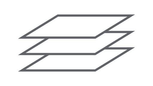
ImageCollection
Một tập hợp hình ảnh.

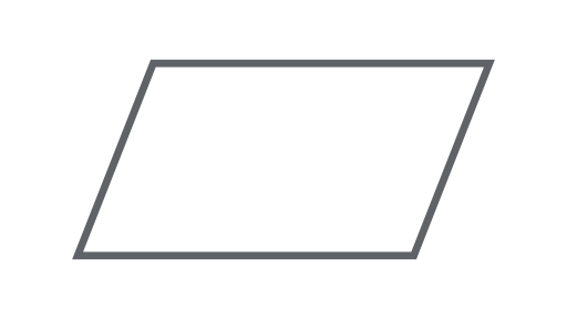
Hình học
Loại dữ liệu vectơ cơ bản trong Earth Engine.
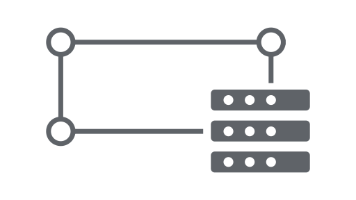
Tính năng
Hình học có thuộc tính.
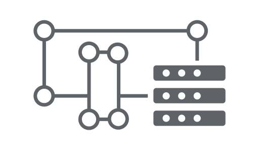
FeatureCollection
Một tập hợp tính năng.

Bộ giảm
Một đối tượng dùng để tính toán số liệu thống kê hoặc thực hiện tổng hợp.
Tham gia
Kết hợp các tập dữ liệu (Bộ sưu tập hình ảnh hoặc Bộ sưu tập đối tượng) dựa trên thời gian, vị trí hoặc thuộc tính.
Mảng
Một đối tượng để phân tích nhiều chiều.
Biểu đồ
Một đối tượng để lập biểu đồ các thuộc tính và giảm thiểu không gian thời gian.