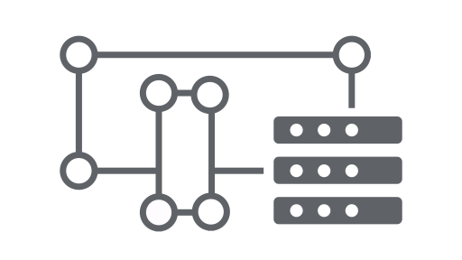
تتألّف واجهة برمجة التطبيقات Earth Engine API من عناصر وطُرق. تمثّل العناصر أنواعًا مختلفة من البيانات، مثل الصور النقطية والسمات المتجهة والأرقام والسلاسل. ينتمي كلّ عنصر من هذه العناصر إلى فئة معيّنة، ولكل فئة مجموعة صارمة من الدوالّ المتاحة لها.
يتم دمج العناصر والطُرق في نصوص سير العمل وإرسالها إلى ملفّات خادم Earth Engine لمعالجتها. تعرَّف على فئات الكائنات الشائعة وطرقها من خلال النقر على البطاقات التالية للاطّلاع على أمثلة على الإجراءات.
يمكن العثور على القائمة الكاملة لفئات Earth Engine وأساليبها في قسم
مكتبات العملاء ضمن دليل مرجعي لواجهة برمجة التطبيقات
(مثل ee.Image.add). تتوفّر أيضًا
معلومات المرجع نفسها ضمن علامة التبويب
المستندات في "محرر رموز JavaScript".
فئات عناصر Earth Engine الشائعة
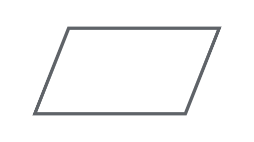
صورة
نوع البيانات الأساسية المركّبة في Earth Engine.
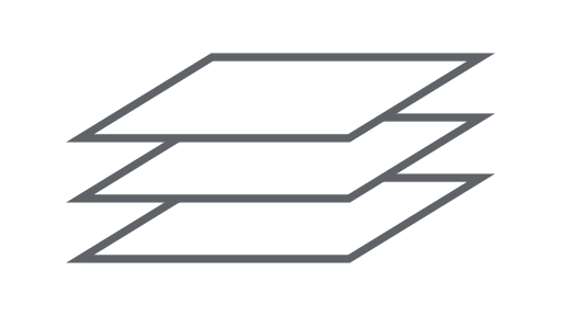
ImageCollection
مجموعة من الصور
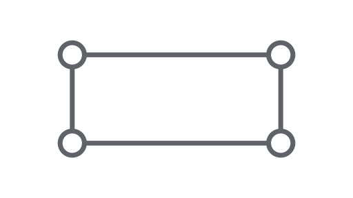
هندسة
نوع البيانات الأساسية للمتجه في Earth Engine.
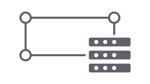
الميزة
شكل هندسي يتضمّن سمات
FeatureCollection
مجموعة من الميزات

مُخفِّض
عنصر يُستخدَم لاحتساب الإحصاءات أو إجراء عمليات التجميع
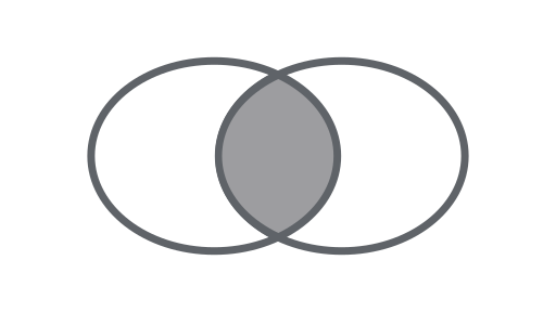
الانضمام
يمكنك دمج مجموعات البيانات (مجموعات الصور أو العناصر) استنادًا إلى الوقت أو الموقع الجغرافي أو سمة الموقع.
مصفوفة
عنصر للتحليلات متعددة الأبعاد
الرسم البياني
عنصر لتمثيل الخصائص والتخفيضات المكانية والزمانية