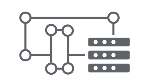
ממשק ה-API של Earth Engine מורכב מאובייקטים ושיטות. אובייקטים מייצגים סוגי נתונים כמו תמונות רסטר, מאפייני וקטורים, מספרים ומחרוזות. כל אחד מהאובייקטים האלה שייך לכיתה ספציפית, וכל כיתה כוללת קבוצה קפדנית של פונקציות שזמינות לה.
אובייקטים ושיטות משולבים בסקריפטים של תהליכי עבודה ונשלחים לשרתים של Earth Engine לעיבוד. כדי לקבל מידע על סוגים נפוצים של אובייקטים ועל השיטות שלהם, אפשר ללחוץ על הכרטיסים הבאים כדי לראות הליכים לדוגמה.
הרשימה המלאה של הכיתות ב-Earth Engine והשיטות שלהן מופיעה בקטע ספריות לקוח במדריך למפתחי API (למשל ee.Image.add). אותו מידע זמין גם בכרטיסייה Docs של עורך הקוד ב-JavaScript.
סיווגים נפוצים של אובייקטים ב-Earth Engine
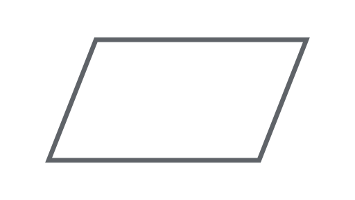
תמונה
סוג הנתונים הבסיסי של הרשתות ב-Earth Engine.
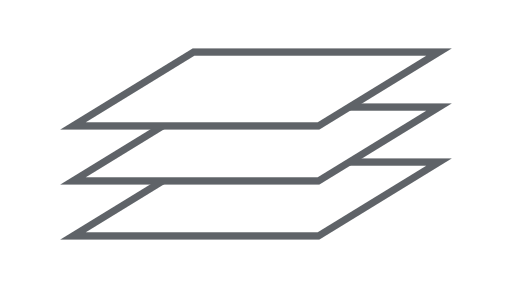
ImageCollection
קבוצת תמונות.
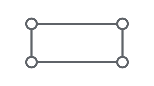
גיאומטריה
סוג הנתונים הבסיסי של וקטורים ב-Earth Engine.
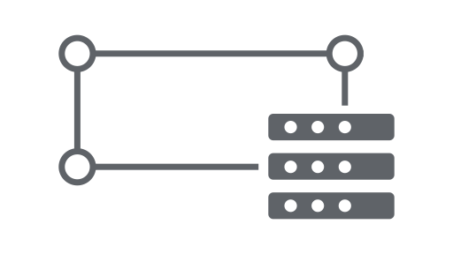
תכונה
גיאומטריה עם מאפיינים.
FeatureCollection
קבוצת תכונות.
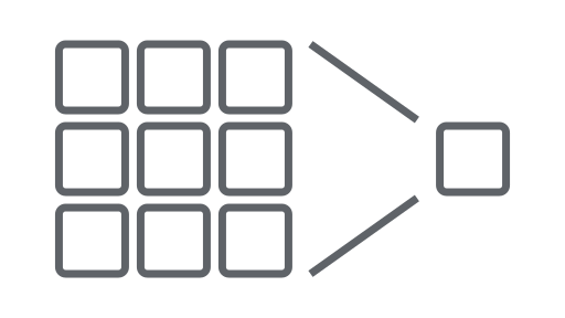
Reducer
אובייקט שמשמש לחישוב נתונים סטטיסטיים או לביצוע צבירות.
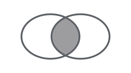
הצטרפות
שילוב של מערכי נתונים (אוספים של תמונות או תכונות) על סמך זמן, מיקום או מאפיין של נכס.
מערך
אובייקט לניתוח רב-מימדי.
תרשים
אובייקט להצגת מאפיינים וצמצומים מרחב-זמן בתרשים.