공지사항:
2025년 4월 15일 전에 Earth Engine 사용을 위해 등록된 모든 비상업용 프로젝트는 Earth Engine 액세스를 유지하기 위해
비상업용 자격 요건을 인증해야 합니다.
객체 및 메서드 개요
컬렉션을 사용해 정리하기
내 환경설정을 기준으로 콘텐츠를 저장하고 분류하세요.
Earth Engine API는 객체와 메서드로 구성됩니다. 객체는 래스터 이미지, 벡터 지형지물, 숫자, 문자열과 같은 데이터 유형을 나타냅니다.
이러한 각 객체는 특정 클래스에 속하며 각 클래스에는 사용할 수 있는 엄격한 함수 집합이 있습니다.
객체와 메서드는 워크플로 스크립트에서 결합되어 처리를 위해 Earth Engine 서버로 전송됩니다. 다음 카드를 클릭하여 절차 예시를 보고 일반적인 객체 클래스와 메서드에 대해 알아보세요.
Earth Engine 클래스 및 메서드의 전체 목록은 API 참조 가이드의 클라이언트 라이브러리 섹션에서 확인할 수 있습니다(예: ee.Image.add
). 동일한 참조 정보는 JavaScript 코드 편집기 문서 탭에서도 확인할 수 있습니다.
일반적인 Earth Engine 객체 클래스
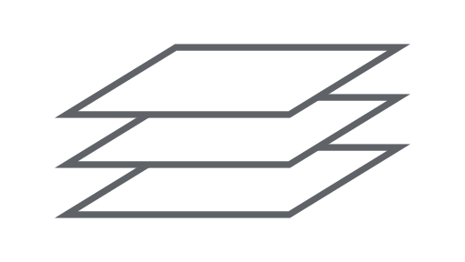
이미지
Earth Engine의 기본 래스터 데이터 유형입니다.
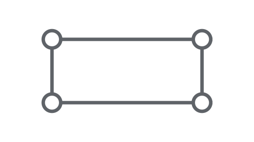
도형
Earth Engine의 기본 벡터 데이터 유형입니다.
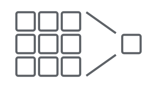
감소기
통계를 계산하거나 집계를 실행하는 데 사용되는 객체입니다.
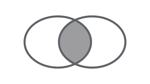
참여
시간, 위치 또는 속성 속성을 기반으로 데이터 세트 (이미지 또는 지형지물 컬렉션)를 결합합니다.
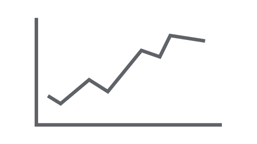
차트
속성 및 시공간 감소를 차트로 표시하는 객체입니다.
달리 명시되지 않는 한 이 페이지의 콘텐츠에는 Creative Commons Attribution 4.0 라이선스에 따라 라이선스가 부여되며, 코드 샘플에는 Apache 2.0 라이선스에 따라 라이선스가 부여됩니다. 자세한 내용은 Google Developers 사이트 정책을 참조하세요. 자바는 Oracle 및/또는 Oracle 계열사의 등록 상표입니다.
최종 업데이트: 2025-07-25(UTC)
[null,null,["최종 업데이트: 2025-07-25(UTC)"],[[["\u003cp\u003eThe Earth Engine API uses objects like images and features, each with specific methods, to process data on Earth Engine servers.\u003c/p\u003e\n"],["\u003cp\u003eWorkflows are created by combining these objects and methods in scripts.\u003c/p\u003e\n"],["\u003cp\u003eComprehensive API documentation with class details and methods is available in the API Reference Guide and Code Editor Docs tab.\u003c/p\u003e\n"],["\u003cp\u003eCommon Earth Engine object classes include Image, ImageCollection, Geometry, Feature, FeatureCollection, Reducer, Join, Array, and Chart, each serving specific data and analytical purposes.\u003c/p\u003e\n"],["\u003cp\u003eExplore the provided links to learn about each object class and see example procedures.\u003c/p\u003e\n"]]],["The Earth Engine API uses objects (raster images, vector features, numbers, strings) and methods within workflow scripts sent for server processing. Each object belongs to a class with specific functions. Key classes include Image, ImageCollection, Geometry, Feature, FeatureCollection, Reducer, Join, Array, and Chart. These classes represent data types, data sets, and tools for analysis. The API Reference Guide and the Code Editor Docs contain complete class and method information.\n"],null,["# Objects and Methods Overview\n\nThe Earth Engine API is composed of objects and methods. Objects represent data\ntypes such as raster images, vector features, numbers, and strings.\nEach of these objects belongs to a specific class, and each class has a\nstrict set of functions available to it.\n\nObjects and methods are combined in workflow scripts and sent to Earth Engine\nservers for processing. Learn about common object classes and their methods by\nclicking on the following cards to see example procedures.\n\nThe full list of Earth Engine classes and their methods can be found in the\n**Client Libraries** section of the [API Reference Guide](/earth-engine/apidocs)\n(e.g. [`ee.Image.add`](/earth-engine/apidocs/ee-date-advance)). The same\nreference information is also available under the JavaScript Code Editor\n[**Docs**](/earth-engine/guides/playground#api-reference-docs-tab) tab.\n\nCommon Earth Engine object classes\n----------------------------------\n\n[](/earth-engine/guides/image_overview) \n[### Image](/earth-engine/guides/image_overview)\n\n\nThe fundamental raster data type in Earth Engine. \n[](/earth-engine/guides/ic_creating) \n[### ImageCollection](/earth-engine/guides/ic_creating)\n\n\nA set of images. \n[](/earth-engine/guides/geometries) \n[### Geometry](/earth-engine/guides/geometries)\n\n\nThe fundamental vector data type in Earth Engine. \n[](/earth-engine/guides/features) \n[### Feature](/earth-engine/guides/features)\n\n\nA geometry with attributes. \n[](/earth-engine/guides/feature_collections) \n[### FeatureCollection](/earth-engine/guides/feature_collections)\n\n\nA set of features. \n[](/earth-engine/guides/reducers_intro) \n[### Reducer](/earth-engine/guides/reducers_intro)\n\n\nAn object used to compute statistics or perform aggregations. \n[](/earth-engine/guides/joins_intro) \n[### Join](/earth-engine/guides/joins_intro)\n\n\nCombine datasets (Image or Feature collections) based on time, location, or an attribute property. \n[](/earth-engine/guides/arrays_intro) \n[### Array](/earth-engine/guides/arrays_intro)\n\n\nAn object for multi-dimensional analyses. \n[](/earth-engine/guides/charts_overview) \n[### Chart](/earth-engine/guides/charts_overview)\n\n\nAn object for charting properties and spatiotemporal reductions."]]