Earth Engine API terdiri dari objek dan metode. Objek mewakili jenis data seperti gambar raster, fitur vektor, angka, dan string. Setiap objek ini termasuk dalam class tertentu, dan setiap class memiliki kumpulan fungsi ketat yang tersedia untuknya.
Objek dan metode digabungkan dalam skrip alur kerja dan dikirim ke server Earth Engine untuk diproses. Pelajari class objek umum dan metodenya dengan mengklik kartu berikut untuk melihat contoh prosedur.
Daftar lengkap class Earth Engine dan metodenya dapat ditemukan di bagian
Library Klien pada Panduan Referensi API
(misalnya, ee.Image.add). Informasi referensi yang sama juga tersedia di tab
Dokumen Editor Kode JavaScript.
Class objek Earth Engine umum

Gambar
Jenis data raster dasar di Earth Engine.
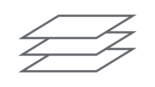
ImageCollection
Kumpulan gambar.
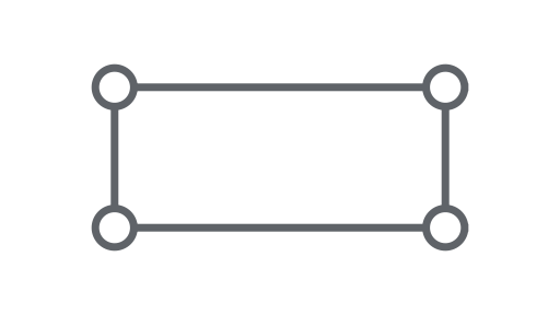
Geometri
Jenis data vektor dasar di Earth Engine.
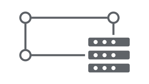
Fitur
Geometri dengan atribut.

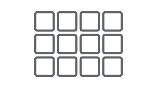
FeatureCollection
Kumpulan fitur.

Pengurang
Objek yang digunakan untuk menghitung statistik atau melakukan agregasi.

Gabung
Menggabungkan set data (Koleksi Gambar atau Fitur) berdasarkan waktu, lokasi, atau properti atribut.
Array
Objek untuk analisis multi-dimensi.
Diagram
Objek untuk memetakan properti dan pengurangan spasial-temporal.