お知らせ:
2025 年 4 月 15 日より前に Earth Engine の使用を登録したすべての非商用プロジェクトは、Earth Engine へのアクセスを維持するために
非商用目的での利用資格を確認する必要があります。
オブジェクトとメソッドの概要
コレクションでコンテンツを整理
必要に応じて、コンテンツの保存と分類を行います。
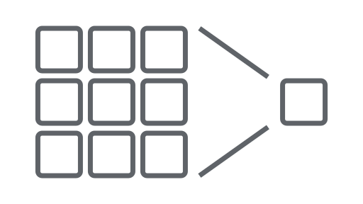
Earth Engine API はオブジェクトとメソッドで構成されています。オブジェクトは、ラスター画像、ベクター対象物、数値、文字列などのデータ型を表します。これらのオブジェクトはそれぞれ特定のクラスに属し、各クラスには使用できる厳密な関数セットがあります。
オブジェクトとメソッドはワークフロー スクリプトで結合され、処理のために Earth Engine サーバーに送信されます。一般的なオブジェクト クラスとそのメソッドについては、次のカードをクリックして手順の例をご覧ください。
Earth Engine のクラスとそのメソッドの一覧については、API リファレンス ガイドのクライアント ライブラリ セクションをご覧ください(例: ee.Image.add
)。同じリファレンス情報は、JavaScript コード エディタの [ドキュメント] タブでも確認できます。
Earth Engine の一般的なオブジェクト クラス
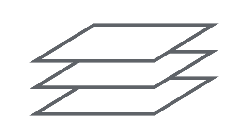
画像
Earth Engine の基本的なラスターデータ型。
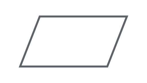
ジオメトリ
Earth Engine の基本的なベクトル データ型。
レデューサ
統計情報の計算や集計の実行に使用されるオブジェクト。
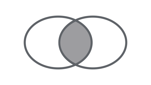
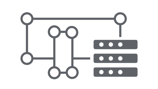
参加
時間、場所、属性プロパティに基づいてデータセット(画像コレクションまたは対象物コレクション)を結合します。
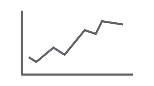
グラフ
プロパティと時空間の縮小をグラフ化するオブジェクト。
特に記載のない限り、このページのコンテンツはクリエイティブ・コモンズの表示 4.0 ライセンスにより使用許諾されます。コードサンプルは Apache 2.0 ライセンスにより使用許諾されます。詳しくは、Google Developers サイトのポリシーをご覧ください。Java は Oracle および関連会社の登録商標です。
最終更新日 2025-07-25 UTC。
[null,null,["最終更新日 2025-07-25 UTC。"],[[["\u003cp\u003eThe Earth Engine API uses objects like images and features, each with specific methods, to process data on Earth Engine servers.\u003c/p\u003e\n"],["\u003cp\u003eWorkflows are created by combining these objects and methods in scripts.\u003c/p\u003e\n"],["\u003cp\u003eComprehensive API documentation with class details and methods is available in the API Reference Guide and Code Editor Docs tab.\u003c/p\u003e\n"],["\u003cp\u003eCommon Earth Engine object classes include Image, ImageCollection, Geometry, Feature, FeatureCollection, Reducer, Join, Array, and Chart, each serving specific data and analytical purposes.\u003c/p\u003e\n"],["\u003cp\u003eExplore the provided links to learn about each object class and see example procedures.\u003c/p\u003e\n"]]],["The Earth Engine API uses objects (raster images, vector features, numbers, strings) and methods within workflow scripts sent for server processing. Each object belongs to a class with specific functions. Key classes include Image, ImageCollection, Geometry, Feature, FeatureCollection, Reducer, Join, Array, and Chart. These classes represent data types, data sets, and tools for analysis. The API Reference Guide and the Code Editor Docs contain complete class and method information.\n"],null,["# Objects and Methods Overview\n\nThe Earth Engine API is composed of objects and methods. Objects represent data\ntypes such as raster images, vector features, numbers, and strings.\nEach of these objects belongs to a specific class, and each class has a\nstrict set of functions available to it.\n\nObjects and methods are combined in workflow scripts and sent to Earth Engine\nservers for processing. Learn about common object classes and their methods by\nclicking on the following cards to see example procedures.\n\nThe full list of Earth Engine classes and their methods can be found in the\n**Client Libraries** section of the [API Reference Guide](/earth-engine/apidocs)\n(e.g. [`ee.Image.add`](/earth-engine/apidocs/ee-date-advance)). The same\nreference information is also available under the JavaScript Code Editor\n[**Docs**](/earth-engine/guides/playground#api-reference-docs-tab) tab.\n\nCommon Earth Engine object classes\n----------------------------------\n\n[](/earth-engine/guides/image_overview) \n[### Image](/earth-engine/guides/image_overview)\n\n\nThe fundamental raster data type in Earth Engine. \n[](/earth-engine/guides/ic_creating) \n[### ImageCollection](/earth-engine/guides/ic_creating)\n\n\nA set of images. \n[](/earth-engine/guides/geometries) \n[### Geometry](/earth-engine/guides/geometries)\n\n\nThe fundamental vector data type in Earth Engine. \n[](/earth-engine/guides/features) \n[### Feature](/earth-engine/guides/features)\n\n\nA geometry with attributes. \n[](/earth-engine/guides/feature_collections) \n[### FeatureCollection](/earth-engine/guides/feature_collections)\n\n\nA set of features. \n[](/earth-engine/guides/reducers_intro) \n[### Reducer](/earth-engine/guides/reducers_intro)\n\n\nAn object used to compute statistics or perform aggregations. \n[](/earth-engine/guides/joins_intro) \n[### Join](/earth-engine/guides/joins_intro)\n\n\nCombine datasets (Image or Feature collections) based on time, location, or an attribute property. \n[](/earth-engine/guides/arrays_intro) \n[### Array](/earth-engine/guides/arrays_intro)\n\n\nAn object for multi-dimensional analyses. \n[](/earth-engine/guides/charts_overview) \n[### Chart](/earth-engine/guides/charts_overview)\n\n\nAn object for charting properties and spatiotemporal reductions."]]